- Home
- China
- World
- Europe
- Politics
- Business
- Opinions
- Tech & Sci
- Culture
- Sports
- Travel
- Nature
- Picture
- Video
- Live
- TV
- Specials

Share

Copied
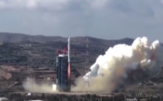
The launch of the Gaofen-7, one of the best remote imaging satellites of China /Screenshot from CCTV
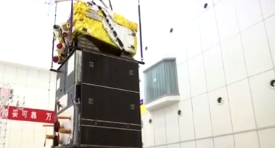
The Gaofen-7 high-res imaging satellite, under construction /Screenshot from CCTV
China's Gaofen-7 Earth observation satellite was successfully sent into space from the Taiyuan Satellite Launch Center in north China's Shanxi Province on Sunday at around 11:22 a.m. BJT.
The satellite is a camera system composed of two line-scan cameras to capture 3D images of the Earth, and a laser altimeter to measure height more precisely.
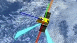
Simulation of the Gaofen-7 capturing the Earth surface for 3D photos /GIF grabbed from a CCTV footage
The camera system can capture 3D image instead of flat, 2D ones, meaning the "photo" it shot can represent the target's shape in reality, not just a 2D projection.
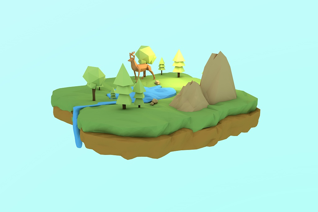
A 3D model /VCG Photo
The image resolution of the camera system is down to the decimeter level, which is the best among the whole Gaofen series. If the image is made into a map, a centimeter on the map can represent 100 meters in reality.
The main user of the satellite will be the Chinese government. According to China's State Administration of Science, Technology and Industry for National Defense (SASTIND), the satellite will be used in updating maps, resource investigation, urban and rural planning, environmental protection and early warning of disasters.