Scientists said Monday they had used a drone to observe the rapid fracturing and draining of a lake on the Greenland ice sheet, a phenomenon that may become more frequent as a result of climate change.
The ice sheet is typically about a kilometer thick, and during summer, it is normal for some of the surface to melt and form thousands of lakes.
Many of the lakes drain in just a few hours, creating vast openings at the base of the ice, up to a kilometer deep. Meltwater from surface streams continues to flow down them for the rest of the melt season, creating some of the world's largest waterfalls.
This process has been extremely difficult to observe firsthand, but a group of glaciologists from the Scott Polar Institute at the University of Cambridge were fortunate when they arrived at the Store Glacier in northwest Greenland in July 2018.
A few days after their arrival, over the course of five hours, two-thirds of the lakes or roughly 5 million liters of water disappeared from the surface through a fracture.
Aerial photography captured by the drone from before and after showed a dark blue oval shrink into a smaller, shallower and lighter blue circle.
By making use of on-board GPS, the team was able to geo-locate and stitch together thousands of photos that were in turn used to create detailed 3D reconstructions of the ice sheet's surface.
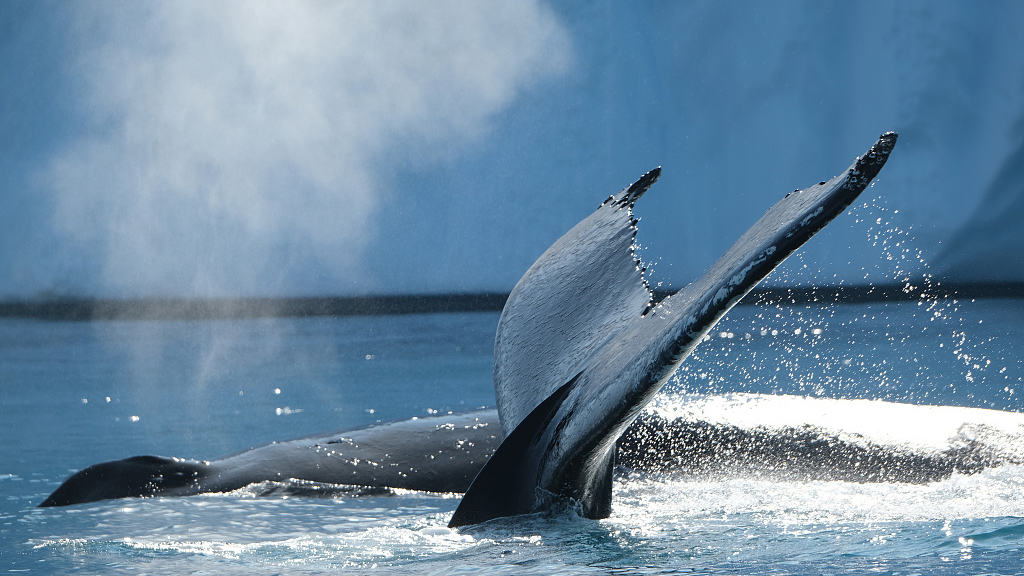
(Editor: Xing Fangyu; Cover image is Humpback whales swim in the Ilulissat Icefjord on August 04, 2019 in Ilulissat, Greenland. /VCG Photo)
(If you want to contribute and have specific expertise, please contact us at nature@cgtn.com.)
Source(s): AFP