00:52

The Jilin-1 satellite constellation was developed in China's Jilin Province and is the country's first self-developed remote sensing satellite for commercial use. Data is provided to commercial clients to help them forecast and mitigate geological disasters, as well as shorten the time scale for the exploration of natural resources.
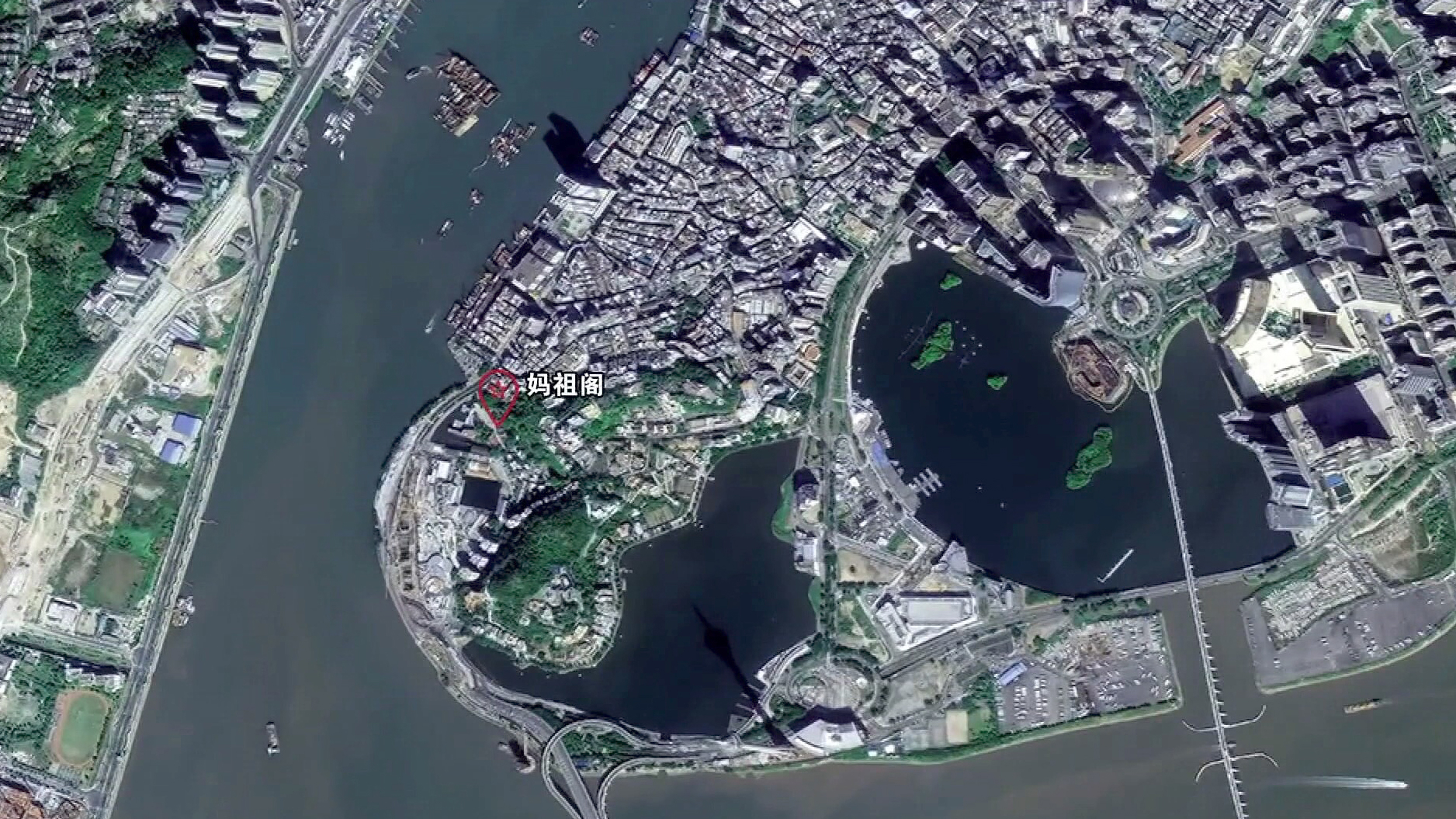
As this year marks the 20th anniversary of Macau's return to China, a set of images taken by the Jilin-1 satellite constellation has been released.
The satellites were developed by the Chang Guang Satellite Technology Co., Ltd under the Changchun Institute of Optics, Fine Mechanics and Physics. Jilin, one of the country's oldest industrial bases, is developing its satellite industry as a new economic drive. The province plans to launch 60 satellites by 2020 and 137 by 2030.