Chinese researchers have achieved progress in intelligent oceanic forecasting driven by remote sensing satellite data, according to the Chinese Academy of Sciences (CAS).
Inspired by largely available satellite remote sensing data and the advance of deep learning technology, a joint team of researchers developed the purely satellite data-driven deep learning model for forecasting the evolution of sea surface temperature associated with the complicated tropical instability wave, CAS said.
The team, led by Li Xiaofeng, a researcher of the Institute of Oceanology under the CAS, was composed of professionals from multiple institutions related to marine scientific research.
At present, the trend of ocean remote sensing satellite data offers an opportunity for the in-depth exploration of marine science, as well as puts forward an urgent demand for the development of marine detection methods.
The researchers have explored key marine data and established a deep learning model to conduct oceanic forecasts. The data-driven model is based on influential deep learning (DL) technology, which offers promise for building new data-driven models to study oceanic phenomena.
Forecasting fields of oceanic phenomena has long been dependent on physical equation–based numerical models. This study demonstrates the strong potential of the satellite data-driven deep learning model as an alternative to traditional numerical models for forecasting oceanic phenomena.
The research result shows that under the background of big data, it is reliable and feasible to build models and forecast methods for complex marine phenomena based on purely satellite data-driven for ocean information.
The research result was published in the journal Science Advances.
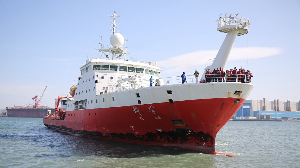
(Cover: Chinese research ship "Science" realizes the real-time transmission of deep-sea data with a depth of 6,000 meters by a Beidou satellite. /VCG)