- Home
- China
- World
- Europe
- Politics
- Business
- Opinions
- Tech & Sci
- Culture
- Sports
- Travel
- Nature
- Picture
- Video
- Live
- TV
- Specials

Share

Copied
Since early June, severe flooding has hit large areas of the Chinese provinces of Hunan, Anhui, Hubei and Jiangxi. According to the Ministry of Water Resources, 443 rivers nationwide have flooded, affecting more than 37 million people.

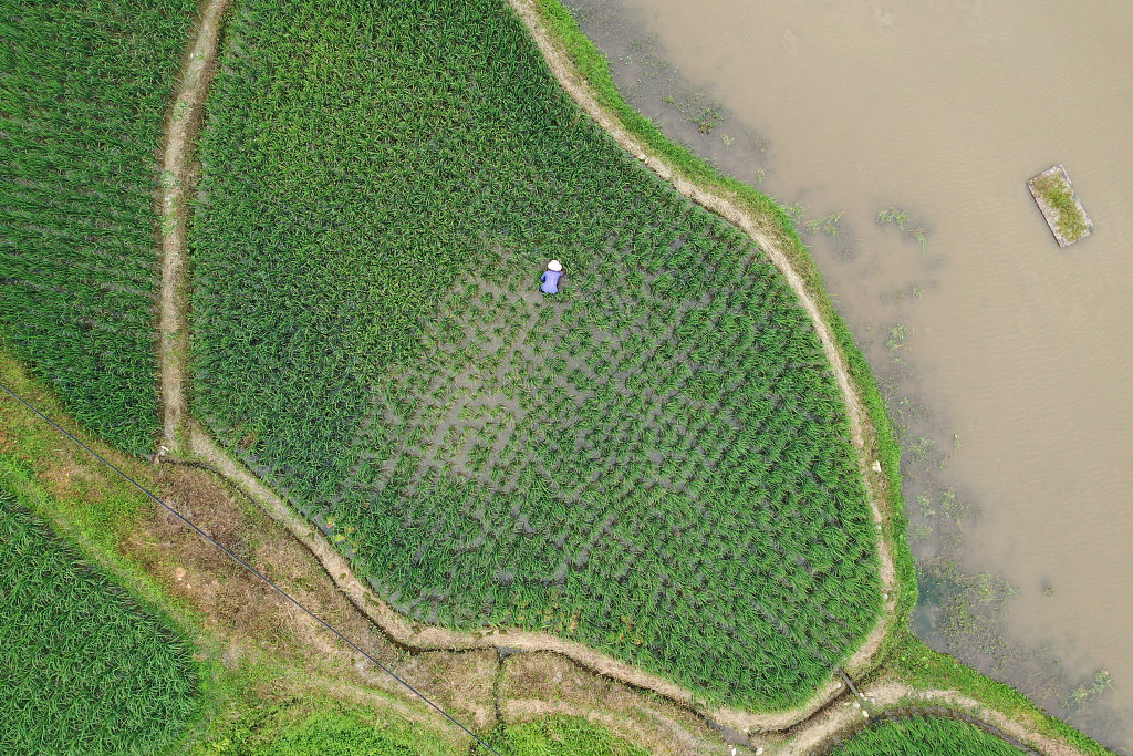
Villagers walk in flooded fields in Caoji Town, Funan County, Fuyang City, Anhui Province, east China. /Photo by CGTN's Chen Chen
But this isn't the first time China has experienced this kind of flooding on a large scale. Throughout its history, floods have always been a large recurring natural disaster.
The flooding is influenced by factors such as climate, topography and population distribution. Here are some facts about China's floods:
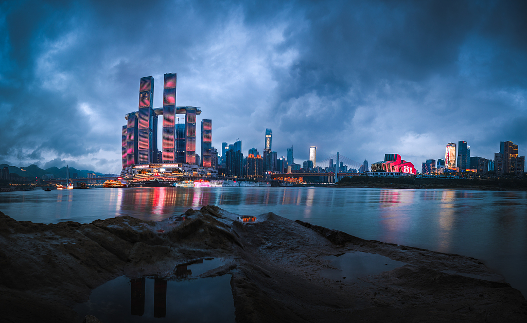
A glance of the Yangtze River and Chongqing Municipality on a cloudy day. /VCG
Climate
China has five climates, and most of the eastern and southern parts fall under subtropical and tropical monsoon climates, which make the summer hot and wet. Though heat and high precipitation can help the crops to grow, heavy and frequent rainfall occurring from May to September also increases the possibility of flooding. This year, the precipitation in eastern and southern areas has risen substantially compared to previous years. In the Yangtze River Basin, the average rainfall has been the highest in the past 60 years, hence frequent severe flooding this summer.
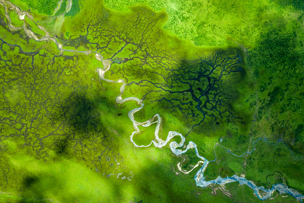
The source of the Yellow River which located in northwest China's Qinghai Province. /VCG
Landform
China's landform is made up of plateaus, plains, basins, foothills and mountains, higher in the west and lower in the east like a three-step ladder. The highest step is in the west, while the lowest step, formed by broad plains and low hills, is in the east of China.
According to a report released by China Meteorological Administration in 2012, about 738,000 square meters of land, covering most parts of the southern and eastern parts of China, is lower than the flood stages of the rivers that flow across the plains in the east.
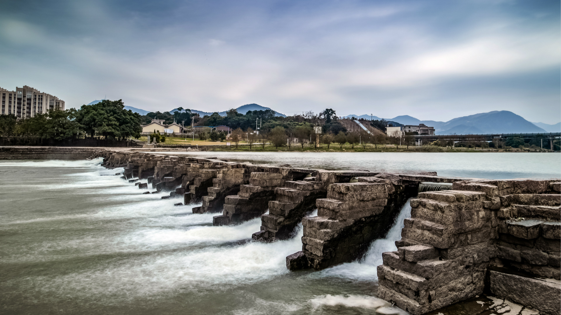
The flood stage of a river is determined as an established gage height for a given location above which a rise in water surface levels begins to create a hazard to lives, property, or commerce. A location below the flood stage means that if the heavy rainfall during the rainy season causes the water level of rivers to reach the threshold, these areas will be surely impacted.
Farmers in Huaihua City of central China's Hunan Province undertake remedial work as the flood recedes. /VCG
Population distribution
If you connect Heihe City in north China's Heilongjiang Province and Tengchong City in southwest China's Yunnan Province on a map, you will get what is called the Hu Line. It is named after Hu Huanyong, a Chinese demographer who discovered this invisible but important line that divides China into two parts. Almost 94 percent of the country's population is to the east of the line, with only about one-third of the nation's land.
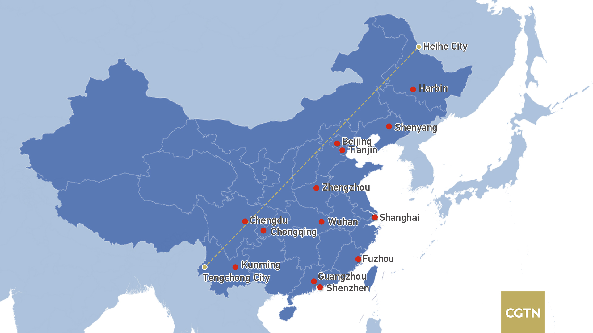
The Hu Line and cities to the east of the line. /Image by CGTN's Du Chenxin
China has thousands of years of agricultural history. Ancient Chinese people were dependent on farming and so had to live alongside rivers or near lakes where the rich soil provide a good harvest. Therefore, the areas where big rivers flow have more settlers than other areas historically. As a majority of China's lakes and river basins, such as the Yangtze River basin and the Poyang Lake, were distributed to the east of the Hu Line, the population distribution trend in ancient China was formed.
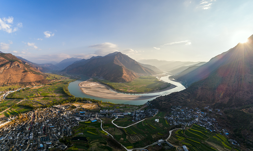
Houses next to the bank of the Yangtze River in southwest China's Yunnan Province. /VCG
The population distribution after China stepped into the industrial and information era remains. Cities with populations of over 10 million people, including Shanghai, Chongqing and Guangzhou, are all located to the east of the Hu Line. Home to many millions of people and plenty of resources, floods in these areas can cause massive losses.
To summarize, flooding has impacted China for thousands of years. Perhaps it is not possible to eliminate all the floods in China now, but Chinese people will still do their best to fight against natural disasters under the circumstances while respecting Mother Nature.
(Cover image via VCG)
(If you want to contribute and have specific expertise, please contact us at nature@cgtn.com.)