- Home
- China
- World
- Asia-Pacific
- Americas
- Europe
- Middle-East and Africa
- Politics
- Business
- Opinions
- Tech & Sci
- Culture
- Sports
- Travel
- Nature
- Picture
- Video
- Live
- TV
- Specials

Share

Copied
Chinese researchers recently released a new permafrost stability distribution map and the corresponding ground temperature dataset over the Qinghai-Tibet Plateau, known as the roof of the world.
The new map is of importance for engineering planning and design and ecosystem management, said Ran Youhua, lead author of the mapping project and researcher at the Northwest Institute of Eco-Environment and Resources (NIEER) under the Chinese Academy of Sciences (CAS).
This high-quality ground temperature dataset may also provide a baseline for the evaluation of permafrost changes on the Qinghai-Tibet Plateau in the future, Ran added.
The Qinghai-Tibet Plateau is the highest plateau in the world and is also the region with the most developed permafrost outside the polar regions. However, data scarcity and unsuitable measurement models have long challenged the high-resolution mapping of permafrost on the plateau.
Chinese researchers have been dedicated to exploring new methods to map the permafrost stability of the Qinghai-Tibet Plateau, which is very sensitive to climate change.
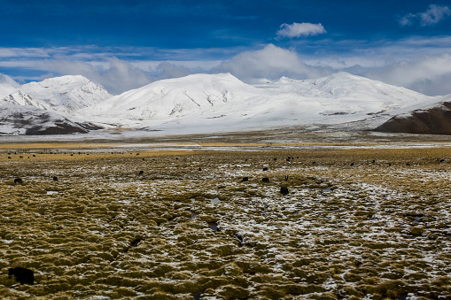
Qinghai-Tibet Plateau. /Getty
The new map was drafted by a joint team of researchers from the NIEER, the Institute of Tibetan Plateau Research under the CAS, and multiple institutions nationwide.
Researchers applied an ensemble learning method that employs a support vector regression model based on distance-blocked resampled training data from 237 boreholes and remote sensing of land surface temperature, vegetation, snow cover and soil variables on the Qinghai-Tibet Plateau.
They produced the mean annual ground temperature (MAGT) at a depth of zero annual amplitude of 10 to 25 meters in the 2010s (2005-2015) with a one-kilometer resolution. Based on the MAGT, the permafrost thermal stability type was divided according to the high altitude permafrost zonation system.
Validation of the new permafrost map indicates that it is probably the most accurate of all currently available maps.
The map shows that the total area of permafrost on the Qinghai-Tibet Plateau, excluding glaciers and lakes, is approximately 1.15 million square kilometers.
The new permafrost stability map on the Qinghai-Tibet Plateau and related study results have been published in the journal Science China Earth Sciences.
(Cover image via Getty)
(If you want to contribute and have specific expertise, please contact us at nature@cgtn.com.)