- Home
- China
- World
- Asia-Pacific
- Americas
- Europe
- Middle-East and Africa
- Politics
- Business
- Opinions
- Tech & Sci
- Culture
- Sports
- Travel
- Nature
- Picture
- Video
- Live
- TV
- Radio
- Specials
- Learn Chinese

Video
22:37, 20-Jan-2022
Chinese satellite images show volcanic impact on Australia, Madagascar
Share

Copied
00:56
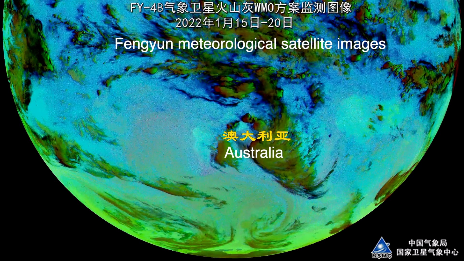
Time-lapse images from the Fengyun meteorological satellite show that as of Thursday, the volcanic ash cloud, represented here in green and largely made up of acidic sulfur dioxide gas, has been moving fast and has further expanded west to the eastern waters of Madagascar.
Images coming from the Gaofen satellite have corroborated this trend – from the massive volcanic eruption on January 15 to the movement of acid gases toward Australia the last few days. Chinese meteorologists said they will keep monitoring and analyzing incoming data, but it could be too soon to decide if the eruption will disrupt China as well as East Asia's summer weather.