- Home
- China
- World
- Asia-Pacific
- Americas
- Europe
- Middle-East and Africa
- Politics
- Business
- Opinions
- Tech & Sci
- Culture
- Sports
- Travel
- Nature
- Picture
- Video
- Live
- TV
- Documentary
- Radio
- Specials
- Learn Chinese

Share

Copied
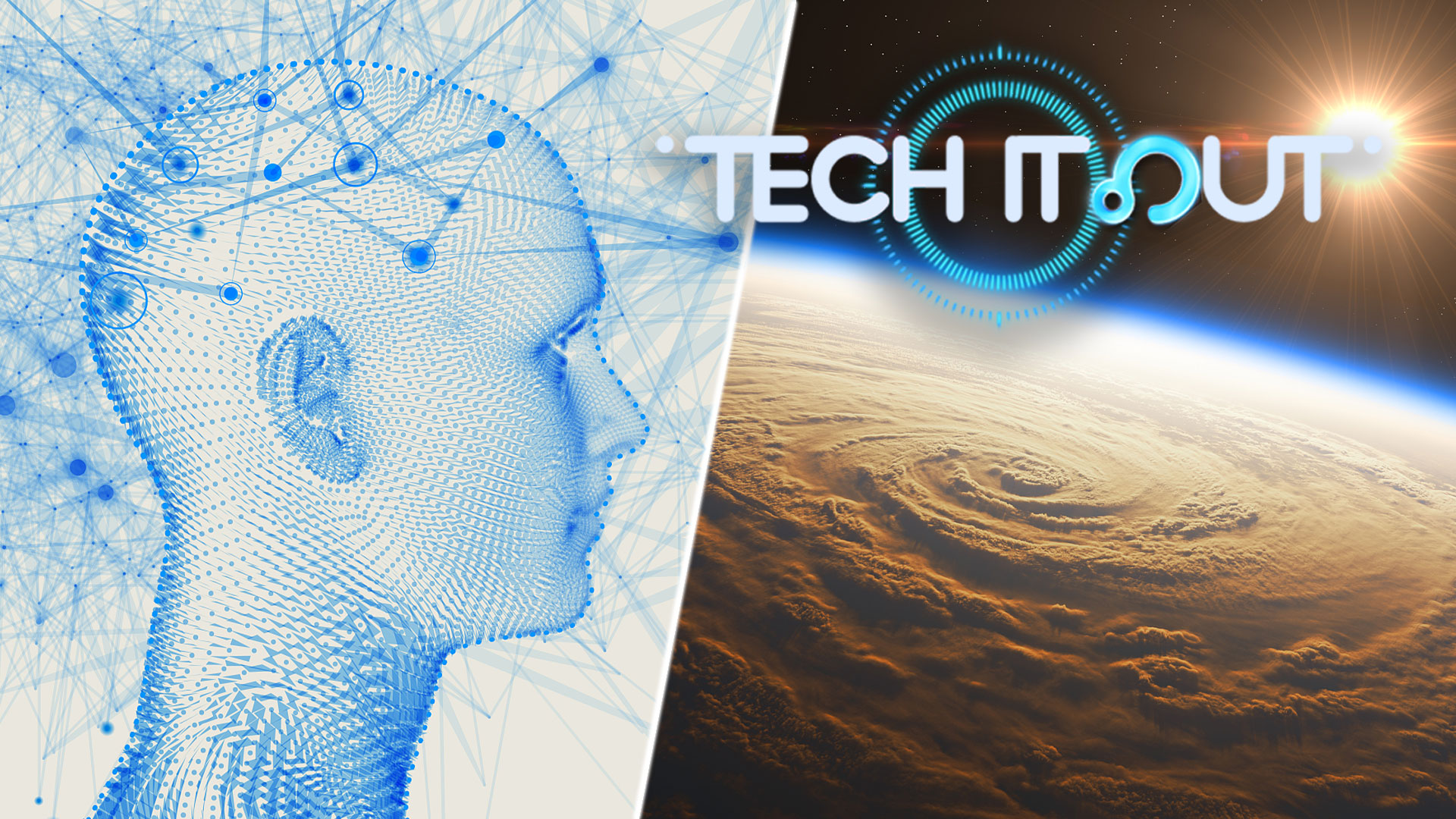
In this week's Science Saturday, we look at the latest science news, ranging from the world's first human cyborg to the future in storm tracking technology.
World's first human cyborg
British scientist Peter Scott-Morgan, also known as the world's first human cyborg, has died at 64.
Scott-Morgan, a brilliant scientist in the field of robotics, made headlines in 2019 when he completed his transition into the world's first human cyborg, known as Peter 2.0.
He had earlier been diagnosed with Amyotrophic Lateral Sclerosis (ALS), a motor neuron disease. However, he refused to accept the terminal diagnosis and worked to become fully robotic to extend his life.
He expressed his feelings by using eye-tracking technology to operate computers, and used a wheelchair to stand and lie flat.
Following his death on June 14, his research team vowed to help those who are limited by age, health conditions and disabilities through high-tech systems such as AI and robotics.
Scott-Morgan's ultimate goal was to help revolutionize what it means to be human.
Polar bears in Greenland
Polar bears depend on solid sea ice to survive. But scientists have recently discovered a group of polar bears living in a slushy mix of freshwater snow and ice in southeastern Greenland.
Researchers showed that the bears were genetically distinct from other groups within Greenland, since they were surrounded by mountains and currents to the country's east.
Scientists said the new population may offer clues to how polar bears hunt their prey since they were more susceptible to climate change.
They added that this new group could help predict how polar bears survive as other sub-populations were isolated by disappearing sea ice.
Forecasting tropical storms
NASA is gearing up to launch tiny satellites into space, which will help forecasters keep a closer eye on tropical storms.
Each satellite is just less than 30 centimeters long and equipped with a microwave radiometer, which is the size of a coffee cup. They will be able to measure heat and light coming from oxygen or water vapor in the air.
These will also help them create 3D images of the environment fueling a particular storm. The satellites will be positioned over the United States' mid-Atlantic region to Australia's southern coast, where most tropical cyclones are born.
NASA's current weather satellites can only check in on a storm every four to six hours. The new ones will shrink that timeframe significantly to hourly updates.
Google dynamic world
Google has announced a new dataset showing how the Earth's surface is being impacted in real time.
The company has introduced a tool called Dynamic World which uses deep learning and satellite imagery to develop a high-resolution map of its land coverage.
Unlike the old maps which take a long time to generate and lack details, Dynamic World classifies the land cover type for every 102 square meters.
It can show how likely it is that an area contains one of nine cover types such as water, flooded vegetation, built-up areas, trees, crops, bare ground, grass, shrub or snow.
The Dynamic World model can produce over 5,000 images a day.
This will help researchers and policymakers to see the impact of disasters and better respond to changes.