- Home
- China
- World
- Asia-Pacific
- Americas
- Europe
- Middle-East and Africa
- Politics
- Business
- Opinions
- Tech & Sci
- Culture
- Sports
- Travel
- Nature
- Picture
- Video
- Live
- TV
- Documentary
- Radio
- Specials
- Learn Chinese

Share

Copied
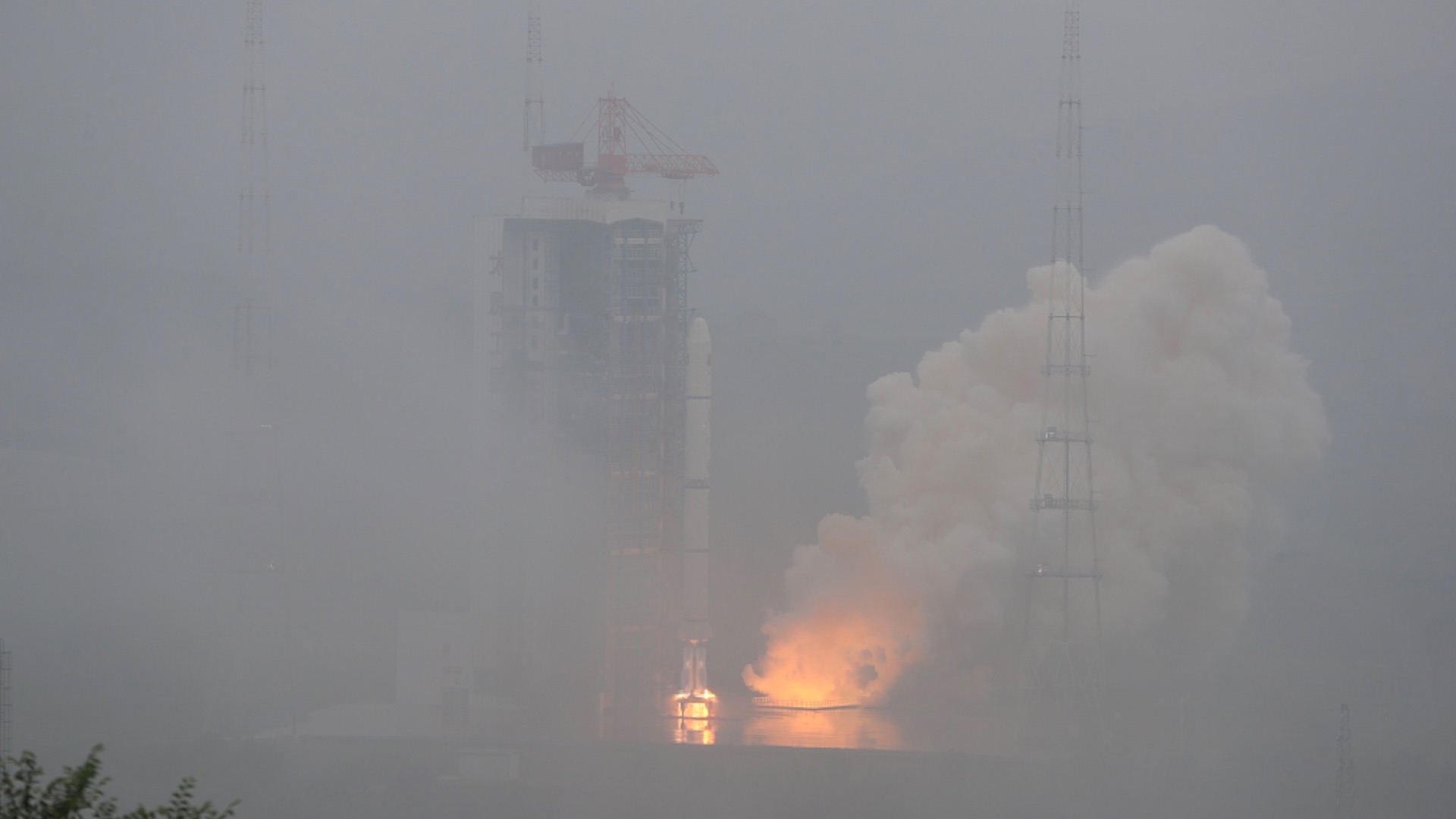
China successfully launched two new high-resolution remote sensing satellites from Taiyuan Satellite Launch Center in north China's Shanxi Province at 6:57 a.m. (Beijing Time) on Saturday.
The pair of satellites, Siwei 03 and 04, were launched by a Long March-2C carrier rocket and entered the planned orbit.
They will provide commercial remote sensing data services for emerging sectors such as urban safety and security, real-scene 3D mapping, City Information Modeling for urban planning, as well as digital agriculture and in conventional areas like land resource surveying, natural disaster prevention and mitigation, and maritime monitoring.
The first group of satellites, Siwei 01 and 02, were sent into orbit on April 29, 2022.
The satellites were developed by China Siwei Surveying and Mapping Technology Co. Ltd., a subsidiary of the China Aerospace Science and Technology Corporation (CASC), the country's major aerospace contractor.
The company plans to build a new generation commercial remote sensing satellite system by 2025, with 28 satellites in space and ground facilities for measurement and control, data receiving, processing and applications.
Once the two new satellites are put into operation, the data retrieving and information service capabilities of the constellation will be improved significantly, marking the completion of the first phase of the new satellite system, according to the company.
It could be further expanded to 56 satellites based on market demand.
Saturday's mission marked the 427th flight of the Long March carrier rocket series.
(CGTN's Geng Xiuhui contributed to this report.)