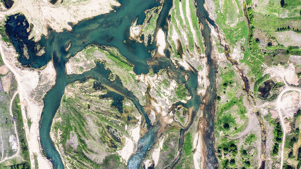
Sitting between the Yellow River and the Yangtze River, the Huaihe River is less well-known. However, it has the most fascinating stories about floods.
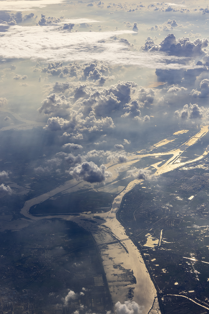
A bird's-eye view of the Huaihe River in Huainan City, east China's Anhui Province. /CFP
A bird's-eye view of the Huaihe River in Huainan City, east China's Anhui Province. /CFP
Notorious for flooding
Running from west to east, the Huaihe River is located in the transitional climate zone of China. Together with the Qinling Mountains, it forms a geographical line that divides eastern China into northern and southern regions.
The unpredictable weather in the transitional climate zone makes the occurrence of natural disasters high – not least among them is flooding. The Huaihe River has been notorious for flooding for thousands of years, a phenomenon that has been compounded by the fact that the powerful Yellow River has fed it for over 700 years since 1194 AD.
According to historical records, the Huaihe River overflowed its banks more than 70 times per century in the 500 years between 1400 AD and 1900 AD. The Yellow River on the north would also continuously change its course, bringing a lot of sediments and silt that would block the middle-low channel of the river and make flood control even harder.
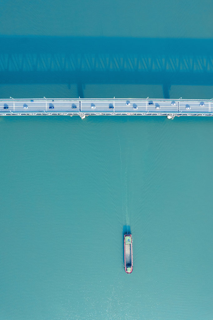
A boat sails on the Huaihe River. /CFP
A boat sails on the Huaihe River. /CFP
The river's primary stream traverses populous provinces such as Henan, Anhui and Jiangsu. However, despite generations of Chinese trying to solve the problem, residents living along the Huaihe River experienced 42 floods within the 48 years between 1901 to 1948.
On October 14, 1950, China launched its Huaihe River flood control project, which opened a new era for the Huaihe River and its residents.
Thrive with the river
In the summer of 2020, severe floods caused by heavy regional rains ravaged large areas of China, including the Huaihe River Basin. The Wangjiaba Dam on the Huaihe River opened its 13 sluice gates to divert water to a flood basin called Mengwa Flood Detention Area, easing the pressure in the downstream area.
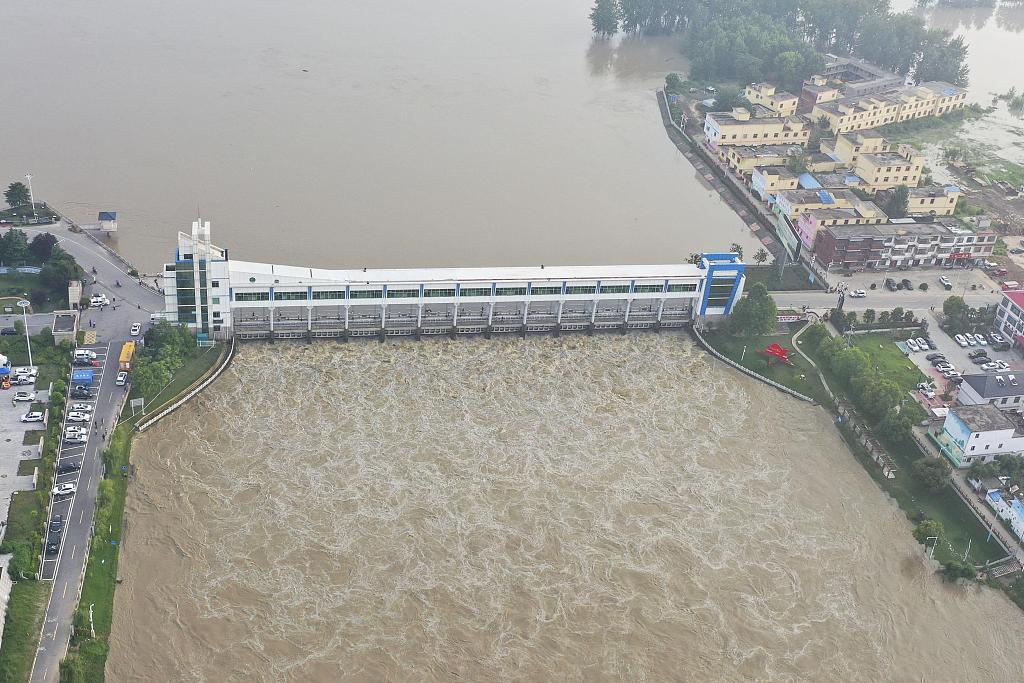
The Wangjiaba Dam opened its gates on July 20, 2020. It was the 16th time that the floodgate been used since its creation in 1953. /CFP
The Wangjiaba Dam opened its gates on July 20, 2020. It was the 16th time that the floodgate been used since its creation in 1953. /CFP
Built in 1953, Wangjiaba Dam in east China's Anhui Province is the key to protecting the Huaihe River from severe flooding. Apart from it, there are about 6,300 reservoirs, tens of thousands of sluices, dams and water diversion projects spreading across Huaihe River Basin.
By 2020, China had invested over 900 billion yuan ($134.4 billion) in Huaihe River management, according to a white paper issued by the Huaihe River Commission of the Ministry of Water Resources. And a project to direct the Huaihe River into the sea has entered its second phase, aiming to improve its resistance to natural disasters.
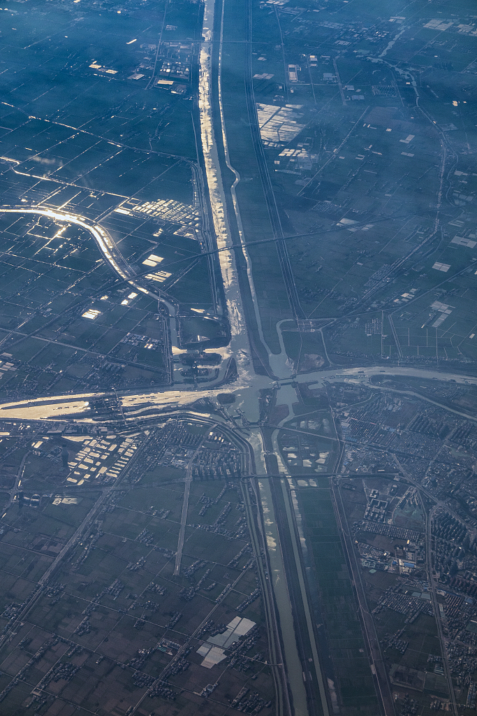
An aerial view of Huai'an City in Jiangsu Province, showing the Beijing-Hangzhou Grand Canal and part of the Huaihe River into the sea channel project. /CFP
An aerial view of Huai'an City in Jiangsu Province, showing the Beijing-Hangzhou Grand Canal and part of the Huaihe River into the sea channel project. /CFP
Situated along the Huaihe River, Huaibin County in Henan Province was once known as "the corridor of floods." However, over 72 years of river management have seen Huaibin County gradually tame the flooding.
Huaibin has learned to use its abundant river source to create a habitable county while developing its economy through the shipbuilding industry.
And Huabin's development is just one example of how regions along the Huaihe River have learned to thrive with it.
00:58
