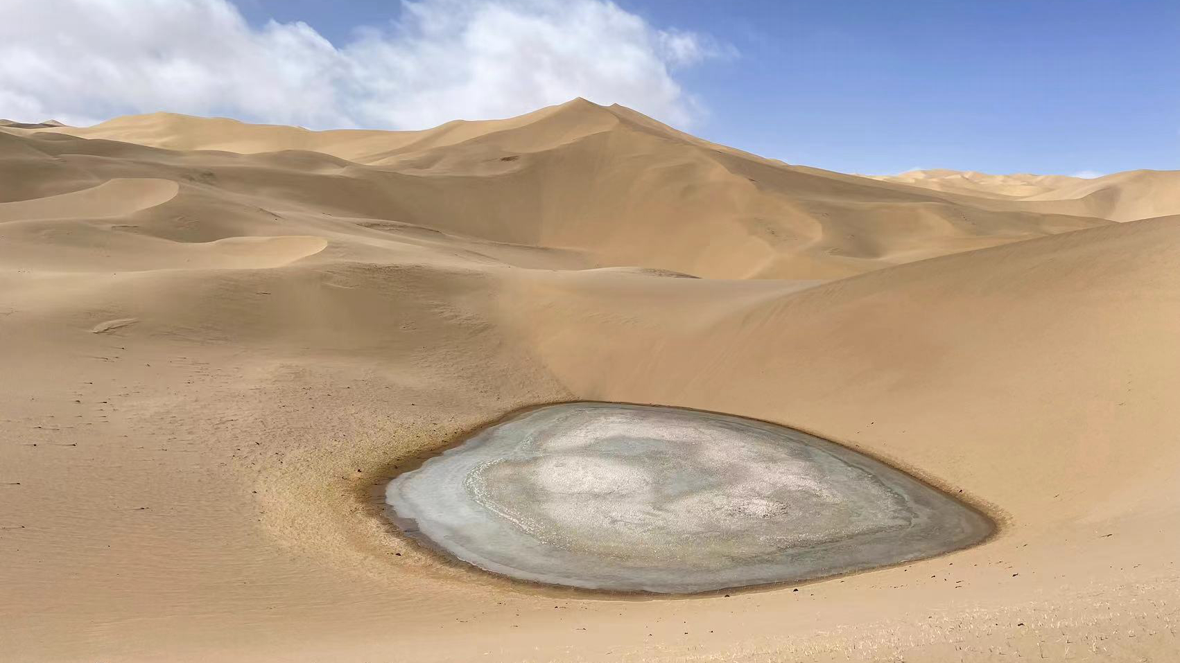
A frozen lake in the Kumukuli Desert in the Arjin Mountains, Xinjiang Uygur Autonomous Region, Northwest China, April 3, 2023. Cao Qingqing/CGTN
A frozen lake in the Kumukuli Desert in the Arjin Mountains, Xinjiang Uygur Autonomous Region, Northwest China, April 3, 2023. Cao Qingqing/CGTN
Kumukuli Desert is one of the world's highest deserts, 3,900-4,700 meters above sea level in the uninhabited Arjin Mountains, northwest China's Xinjiang Uygur Autonomous Region.
What makes it more unique is its multiple lakes and rivers, a major water source of the nearby Ayakum Lake, which has expanded rapidly over the last 40 years and became the largest lake in Xinjiang as of 2021.
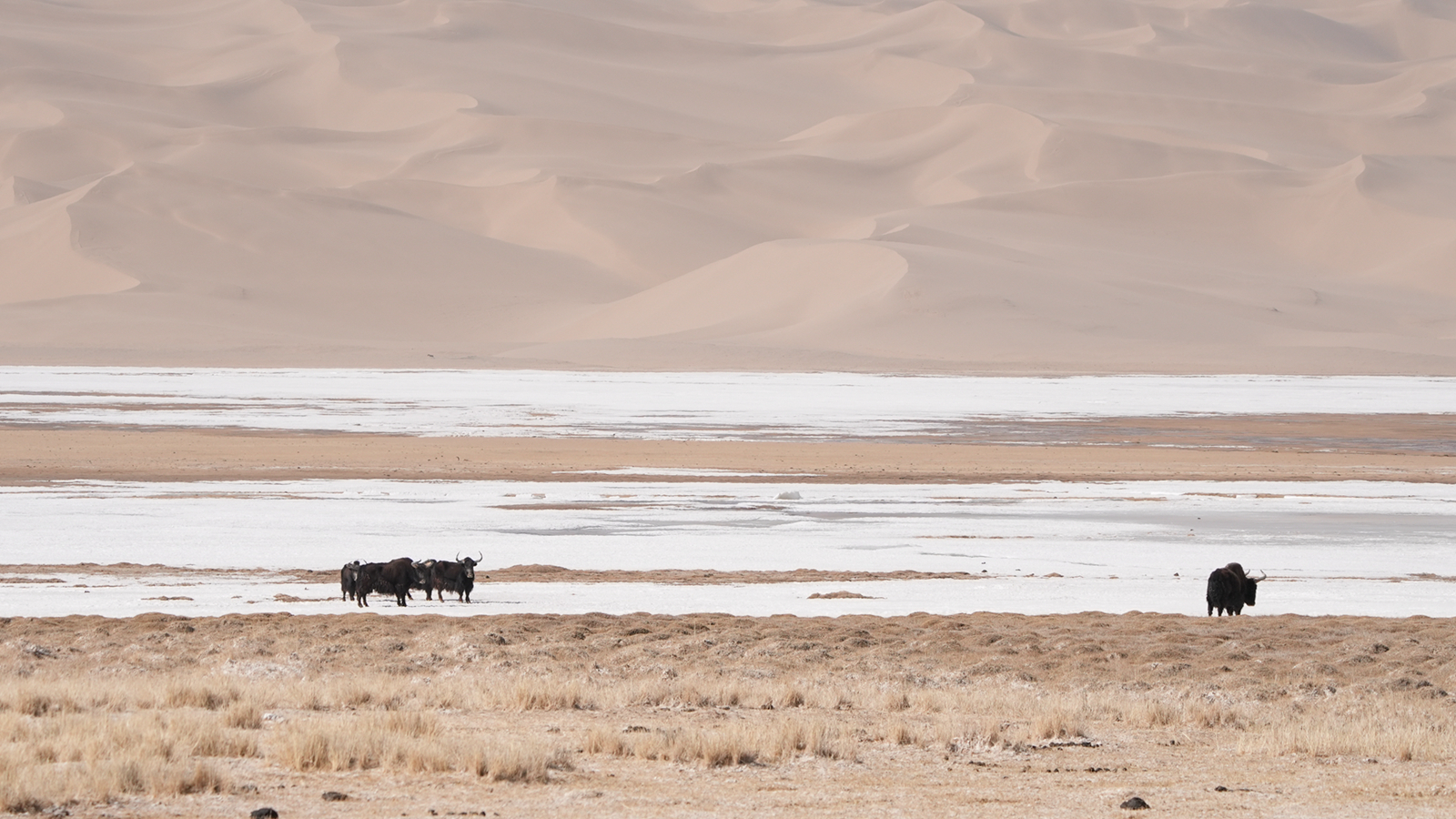
A desert view in the Arjin Mountains, April 3, 2023. Xu Jiye/CGTN
A desert view in the Arjin Mountains, April 3, 2023. Xu Jiye/CGTN
The water area of Ayakum Lake, which stood at around 500 square kilometers in the 1980s, increased to nearly 670 square kilometers by 1990 and further expanded to 1,127.7 square kilometers by 2021, an increase of 68 percent over the past three decades, according to remote sensing data by the Xinjiang Institute of Ecology and Geography under the Chinese Academy of Sciences (CAS).
Liu Tie, a research fellow at the institute, told CGTN that the increase in precipitation and meltwater from the mountains due to higher temperature here are the possible reasons behind the expansion of the lake. But further studies, especially on water samples collected, are needed for more precise conclusions.
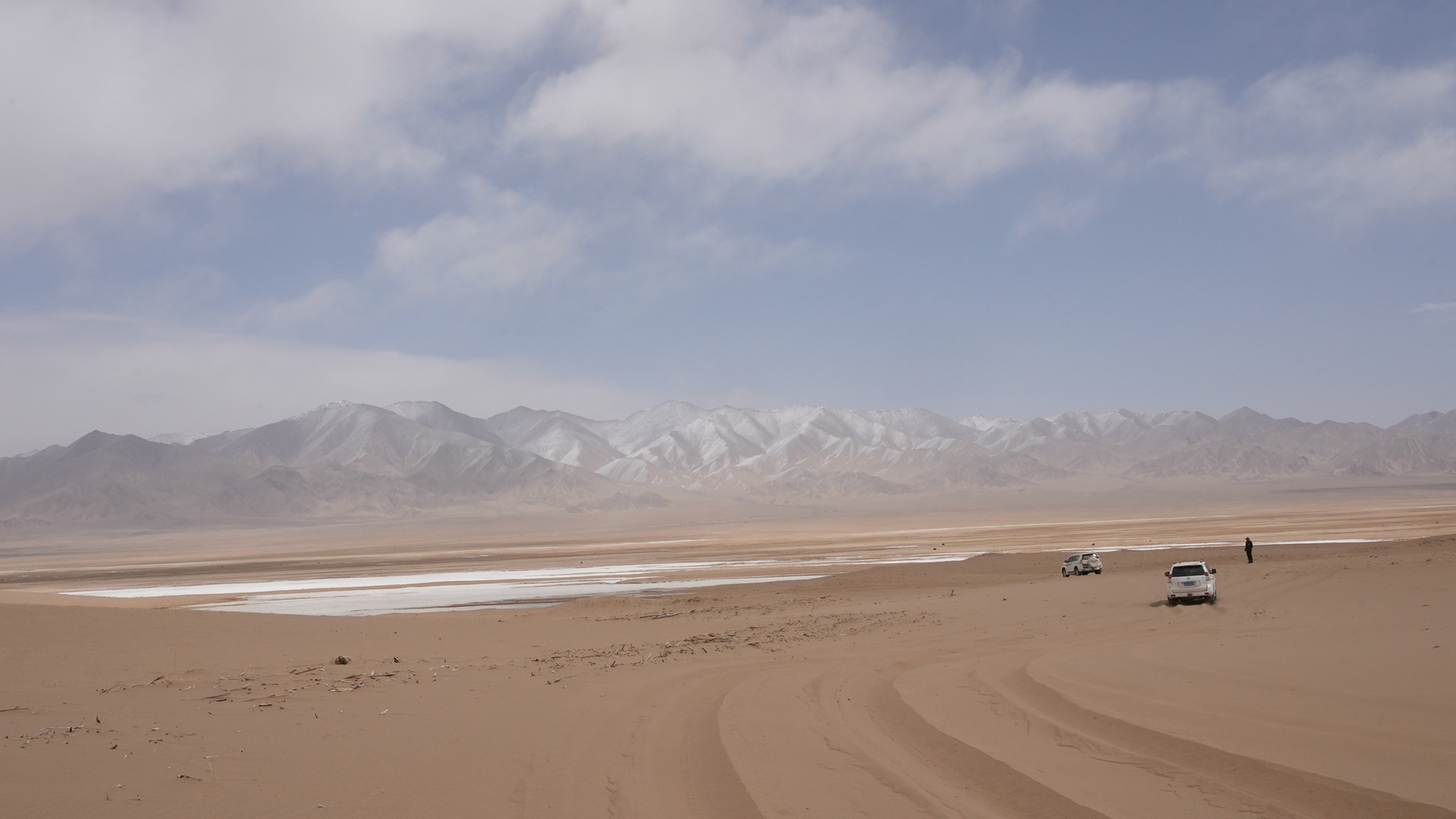
A research team arrives at the edge of the desert via motorvehicles in the Arjin Mountains, April 3, 2023. Cao Qingqing/CGTN
A research team arrives at the edge of the desert via motorvehicles in the Arjin Mountains, April 3, 2023. Cao Qingqing/CGTN
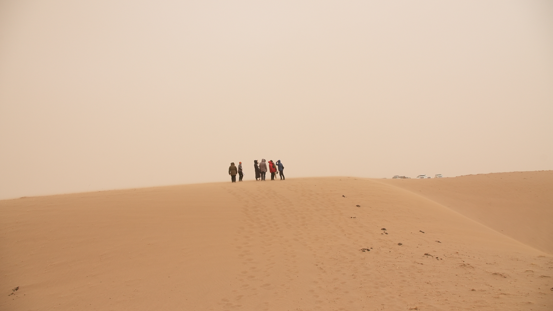
Looking for the source of a river amid a sandstorm in the Arjin Mountains, April 3, 2023. Cao Qingqing/CGTN
Looking for the source of a river amid a sandstorm in the Arjin Mountains, April 3, 2023. Cao Qingqing/CGTN
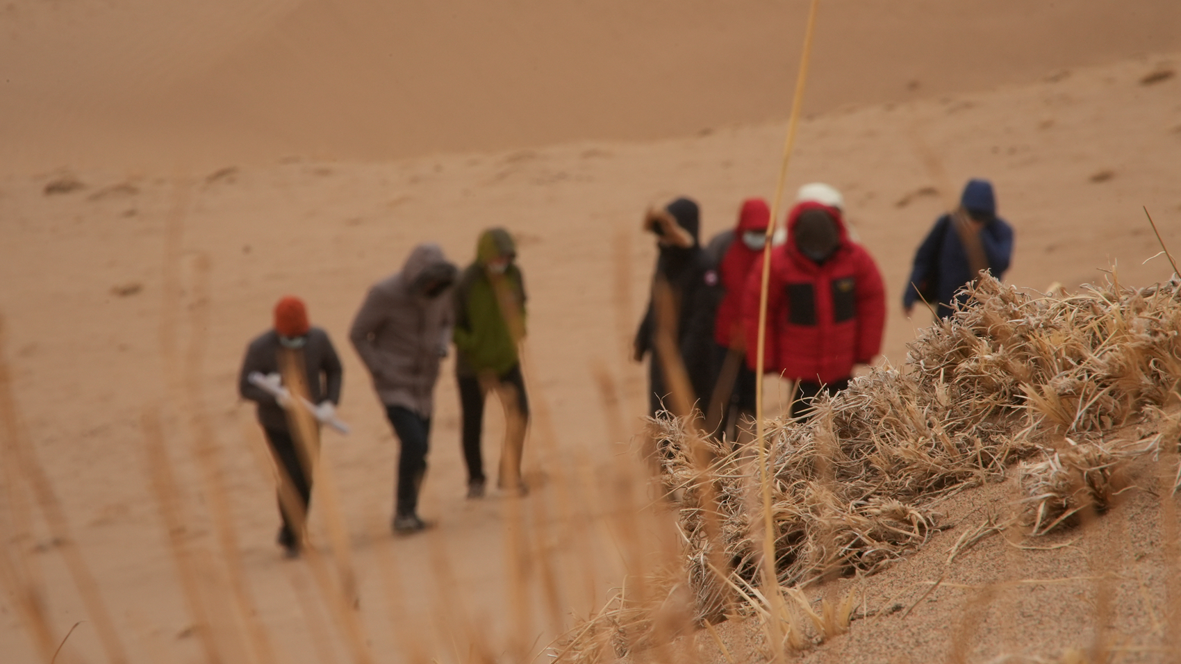
Looking for the source of a river, April 3, 2023. Xu Jiye/CGTN
Looking for the source of a river, April 3, 2023. Xu Jiye/CGTN
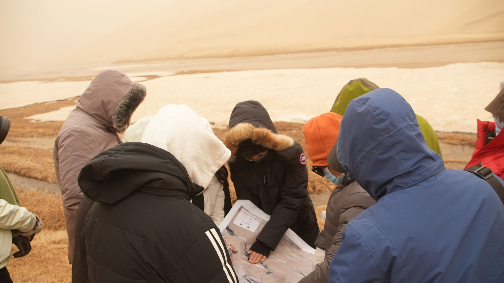
Checking a satellite image, April 3, 2023. Xu Jiye/CGTN
Checking a satellite image, April 3, 2023. Xu Jiye/CGTN
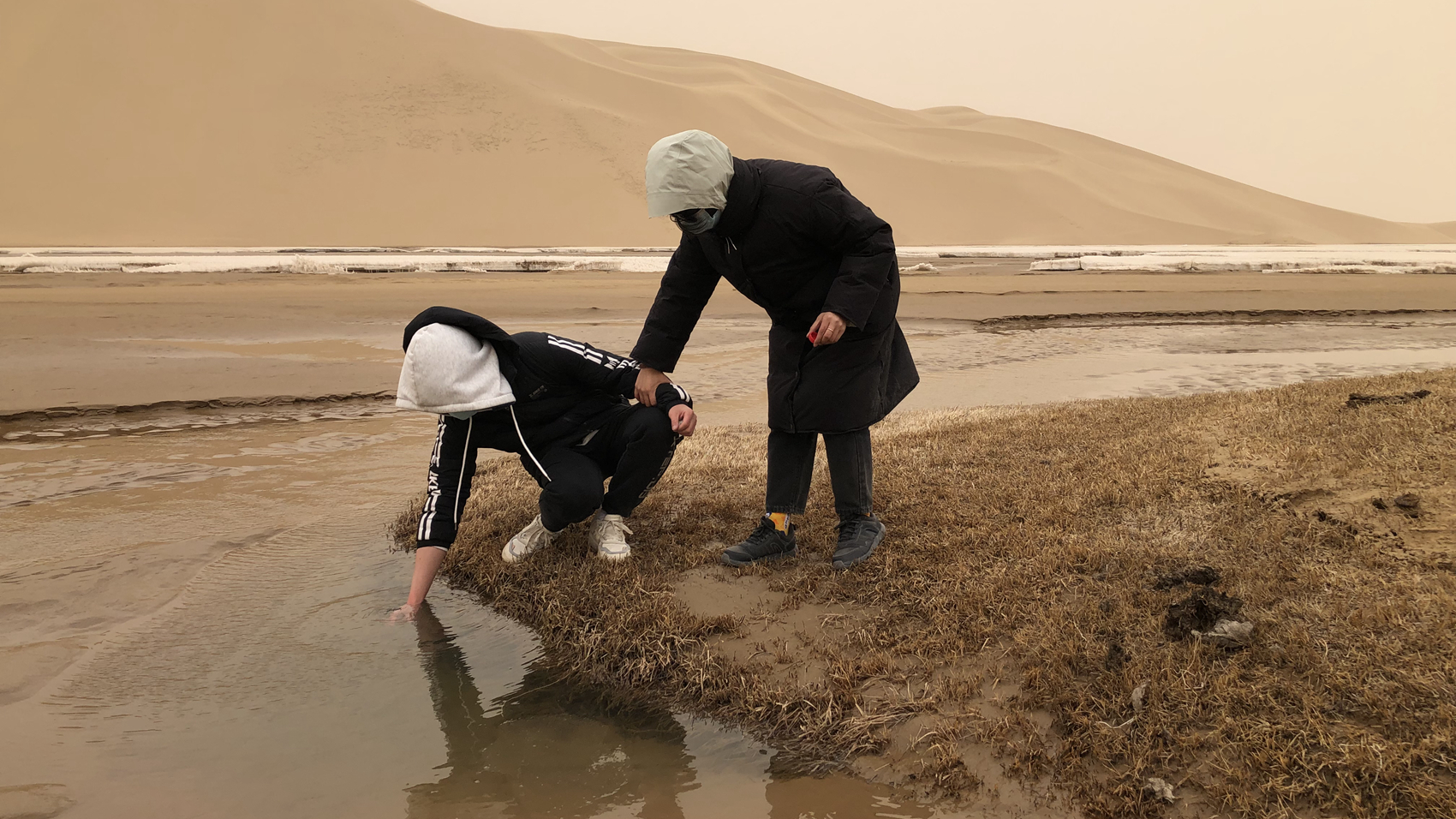
Collecting water sample from the upstream of a river in the Arjin Mountains, April 3, 2023. /Sun Zifa
Collecting water sample from the upstream of a river in the Arjin Mountains, April 3, 2023. /Sun Zifa
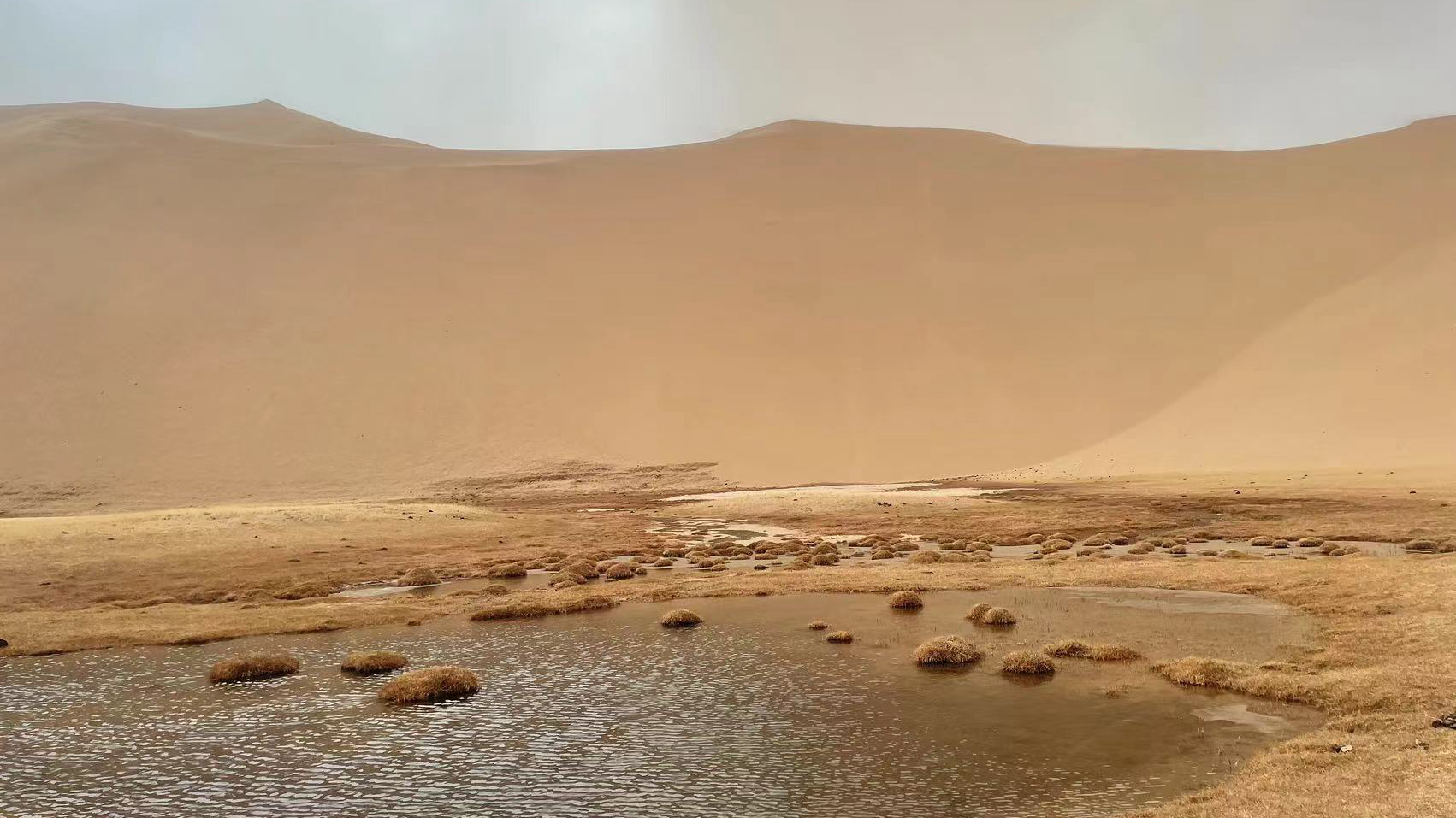
A lake in the Kumukuli Desert, April 3, 2023. Cao Qingqing/CGTN
A lake in the Kumukuli Desert, April 3, 2023. Cao Qingqing/CGTN
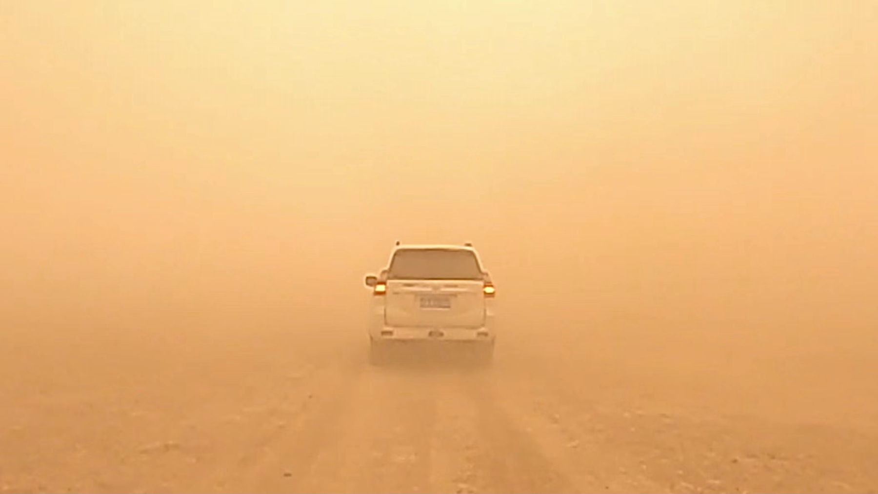
A heavy sandstorm in the Arjin Mountains, April 3, 2023. Qi Jianqiang/CGTN
A heavy sandstorm in the Arjin Mountains, April 3, 2023. Qi Jianqiang/CGTN
Liu and his team arrived at the desert on Monday and walked for over an hour to look for water source amid a heavy sandstorm.
They finally took water samples from the upstream of a river in the desert and brought it back for analysis along with samples from other parts of Ayakum Lake to study the impact of climate change in the area.
The survey is part of a 10-day scientific expedition of the Arjin Mountains area, one of China's four largest depopulated zones.