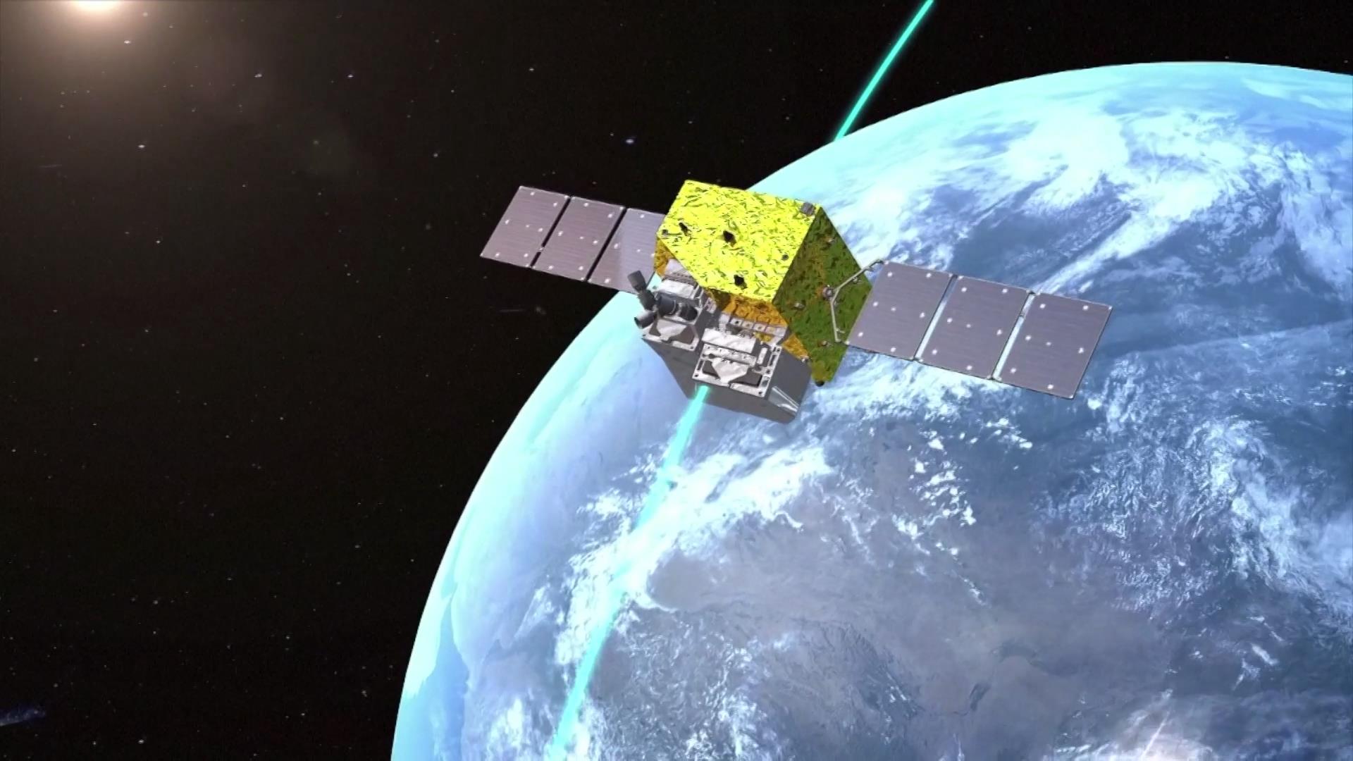
Animation of a remote sensing satellite in orbit. /CMG
Animation of a remote sensing satellite in orbit. /CMG
China's remote sensing satellites have played prominent roles in observing and protecting the Earth's environment by providing pivotal data and clues for economic development, infrastructure construction, natural disaster rescue and mitigation as well as ecological protection, with over 200 such satellites making unremitting contributions.
At present, China has over 200 remote sensing satellites in orbit for all-weather, high-resolution Earth observation from a celestial angle of view with multiple breakthroughs in this field, according to the China National Space Administration (CNSA).
The CNSA said China has over 300 satellites weighing over 300 kilograms respectively in orbit, ranking second in the world. There are over 200 in-orbit remote sensing satellites, which can generate daily global-coverage satellite data at a resolution of 16 meters and optical data at a two-meter resolution within a one-day global revisit. It takes them five hours to revisit any region in the world using 1-meter resolution radar.
A national platform for remote sensing data and application services launched by CNSA last year facilitates easy access to remote sensing data from China.
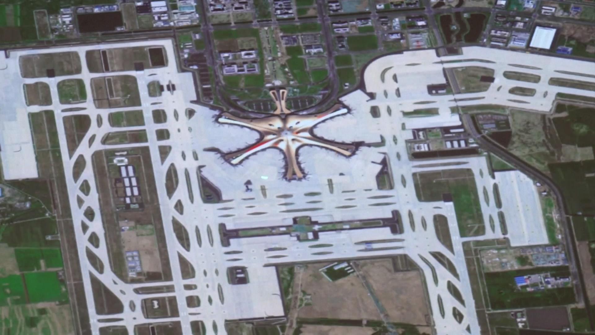
For example, a high-definition image of the Beijing Daxing International Airport captured by the GF-1 satellite clearly shows the airport's terminal buildings and tidy runways from a celestial perspective.

High-definition image of Beijing Daxing International Airport captured by China's satellite. /CMG
High-definition image of Beijing Daxing International Airport captured by China's satellite. /CMG
"This is a huge advantage of our remote sensing images. The planning and construction departments can monitor whether it is built according to the plan based on remote sensing images, and the engineering department can supervise the quality of the project," said Xing Jin, a researcher with the Earth Observation System and Data Center under the CNSA.
The Yaogan series satellites are designed to study the Earth's surface, assess crop yields and provide clues for natural disaster rescue and mitigation efforts. They are an operational tool for weather forecasting and climate change research through mapping, supervising and monitoring the Earth.
The first Chinese remote sensing satellite of the Yaogan series was launched into orbit in 2006.
Saturday marks Earth Day, an annual event to popularize and muster support for environmental protection.