Share

Copied
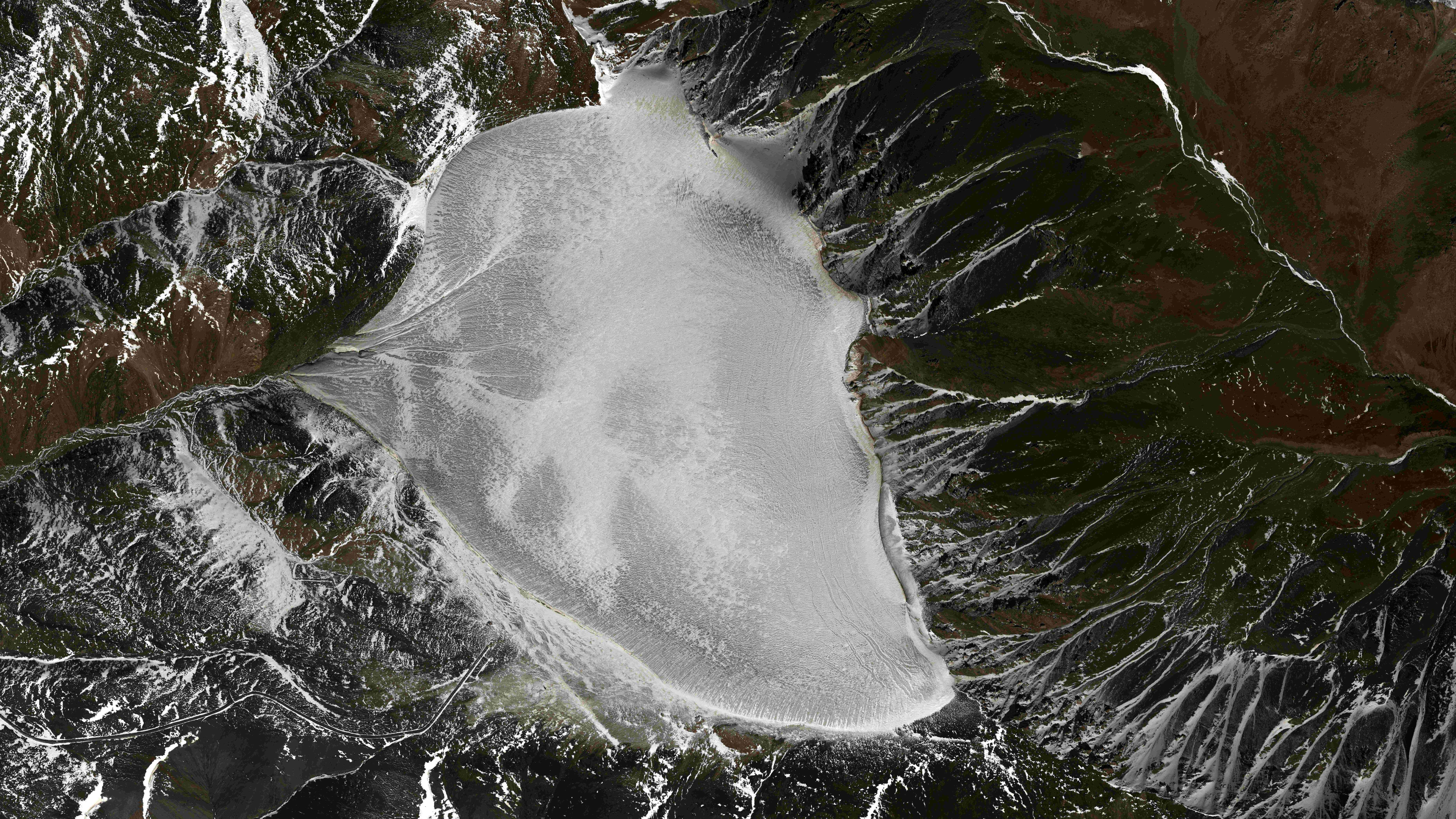
An image of the Bayi Glacier in Qilian County, the Haibei Tibetan Autonomous Prefecture, northwest China's Qinghai Province. /AIRI
Using an aerial remote sensing system, China has obtained effective mountain glacier detection data through an ongoing combined detection experiment, according to the Aerospace Information Research Institute (AIRI) at the Chinese Academy of Sciences (CAS) on Thursday.
The sky-ground scientific experiment, led by four CAS institutes and Wuhan University, is to test the condition of glaciers in the Haibei Tibetan Autonomous Prefecture, northwest China's Qinghai Province.
The experiment used the domestically made Xinzhou-60 airplanes for remote sensing and applied radars in three bands – P-band, L-band and very high frequency (VHF). A total of 4.6 terabytes of valid data has been obtained.
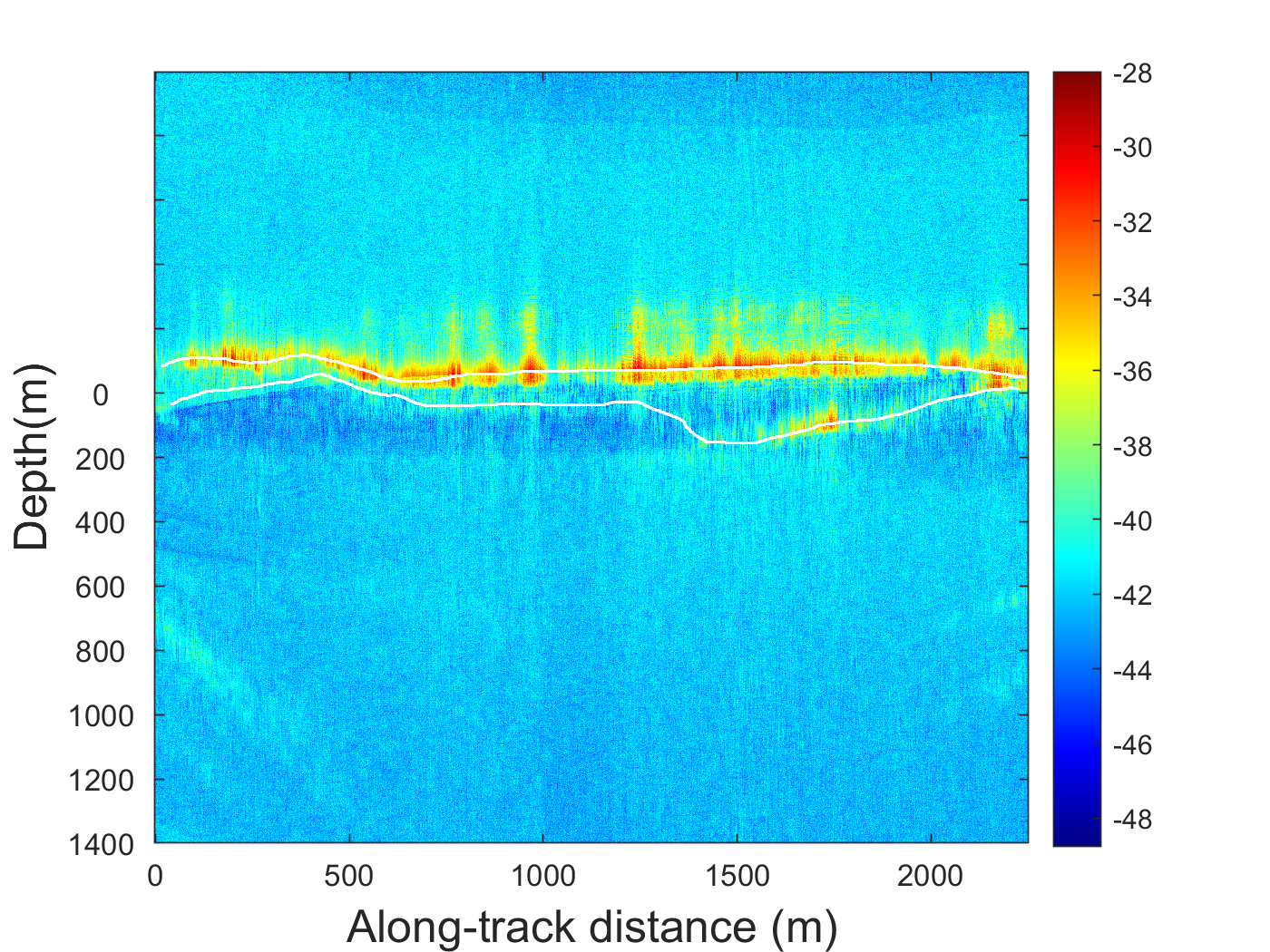
Glacier-bedrock interface data based on VHF band obtained by airborne radar. /AIRI
The data shows that three-dimensional reconstruction can reflect the trend of glacier surface elevation and the boundary lines between ice and atmosphere and between glacier and bedrock.
Researchers used the data to target the location of an electrical anomaly that had been artificially placed at a depth of 80 meters in an ice core borehole.
The experiment has verified a comprehensive glacier characteristics observation technique and tested the feasibility of the joint P-band, L-band and VHF experiment.
The experiment is of great significance to the development of glacier detection technology in China and scientific research on global changes, said Gong Jianya, head of the School of Remote Sensing Information Engineering at Wuhan University.
Gong added that it will provide an important reference for scientifically verifying civilian P-band synthetic aperture radar satellites.
(With input from Xinhua)
Search Trends
SITEMAP
Copyright © 2023 CGTN. 京ICP备16065310号

Disinformation report hotline: 010-85061466
SITEMAP
Copyright © 2023 CGTN. 京ICP备16065310号
Disinformation report hotline: 010-85061466