Share

Copied
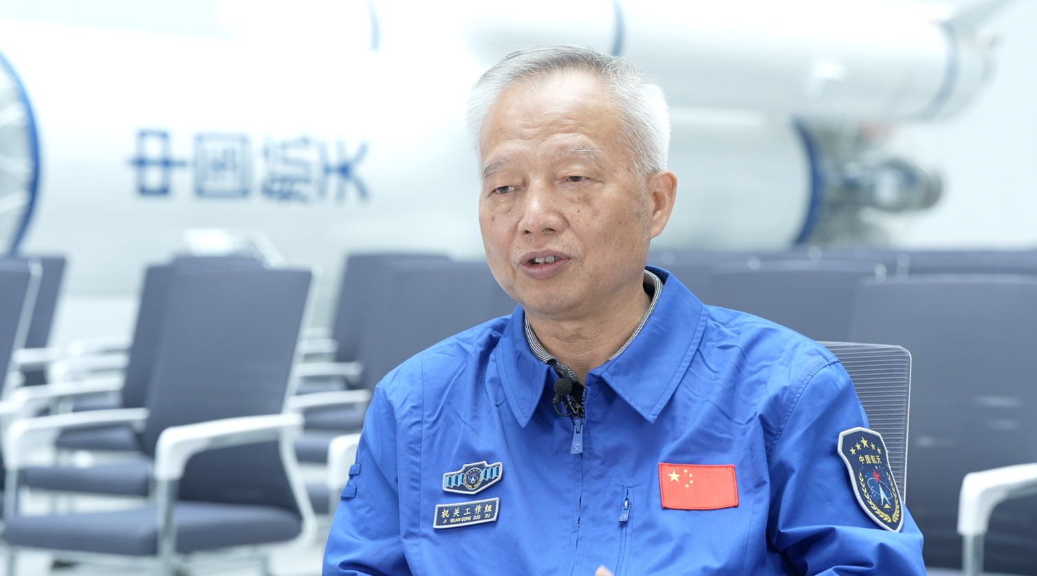
Editor's note: A new satellite for China's BeiDou navigation and communications system has been launched from the Xichang Satellite Launch Center in southwest Sichuan Province. This is the first BeiDou satellite launched since July 31, 2020, when the BeiDou system began providing full-scale global services. Yang Changfeng, chief architect of BeiDou Navigation Satellite System (BDS), academician of the Chinese Academy of Engineering, spoke to CGTN about what the new satellite will bring, how the system has improved, and how a future "space-time" system will serve the world and beyond.
BDS chief architect: System continuously improved since completion
"Launching this new satellite will improve the performance of the BDS and also enhance our technology capabilities, including bettering the capacity of short message communication services in countries and regions along the Belt and Road Initiative (BRI), as the new satellite increases the regional short message communication capacity by one-third." Yang told CGTN.
BeiDou system was formally commissioned three years ago.
"We have now created a BDS operation management system with Chinese characteristics." Yang said. "The entire system operates stably and the service performance has been steadily improving."
Yang cited the example that over the past two years, BDS' positioning accuracy has reached 5 meters globally, with even better accuracy, in the Asia-Pacific region.
"So, after three years of hard work, we have achieved the goals of a first-class navigation satellite system, developed by China, dedicated to the world, and applied worldwide." Yang said.
BDS chief architect: Short-message communication services favored by Belt and Road countries and regions
He said BDS is aimed to serve the world and benefit mankind since its establishment.
Yang said the short message communication services "is one thing that makes the system unique and advantageous among the four major global navigation satellite systems."
Yang explained that the short message communication service enables parties on both ends to exchange information.
"Simply put, using the service means I can know where you are, and you can know where I am, and we can exchange information. And this is favored by Belt and Road countries and regions."
Yang said BDS is also used in Belt and Road countries and regions for land rights confirmation, precision agriculture, digital construction, disaster prevention and mitigation, smart ports and other areas. So far, BDS-based products have been applied in more than half of countries and regions in the world.
BDS chief architect: BDS application only 'restrained by imagination'
"I've often said that the applications of BDS in China is only restrained by imagination, and its applications abroad are the same." Yang told CGTN, when asked about prospects of the use of BDS internationally.
"BDS has been recognized by the UNOOSA as one of the major global navigation satellite systems. BDS also makes continues efforts to be ratified by the international organizations such as ICAO, IMO, COSPAS-SARSAT, 3GPP, IEC etc. it is expected that BDS will be applied more globally." Yang added.
Yang also points to a promising future.
"Looking at the development of BDS, as President Xi Jinping has made clear, we will build a more ubiquitous, more integrated, and more intelligent national comprehensive spatiotemporal system by 2035. This system, even better than the current one, may have a wider application and popularization internationally," he said.
BDS chief architect: Future time-space system to be ubiquitous, integrated, intelligent
The National Comprehensive Spatiotemporal (time-space) system would be more ubiquitous, more integrated and more intelligent, Yang also explained to CGTN what it involves.
"One simple way to understand is that in the future, there will be seamless connection for land, sea, air, and space, indoors and outdoors – this is the ubiquitous part we talked about," he said. "So, there would be coverage underwater, underground and in deep space."
"Before, we called BDS a navigation satellite system, but when the PNT (Positioning, Navigation, Timing) system is integrated, BDS will become a wide-ranging system capable of navigation, positioning, and timing." Yang said.
In integration, Yang said the development of BDS would merge into various industries and various technologies.
"And the intelligence part... as I understand it, intelligence comes down to doing the right thing at the right time and at the right place," he said. "So everything is articulated through the two barometers: time and space, and in turn, only with these two elements expressed can things have vitality."
Yang said employing these two elements well means new impetus and new capabilities.
"You can't live without time or space. And that's why I said applications of BDS are only restrained by imagination," Yang said.
Search Trends
SITEMAP
Copyright © 2023 CGTN. 京ICP备16065310号

Disinformation report hotline: 010-85061466
SITEMAP
Copyright © 2023 CGTN. 京ICP备16065310号
Disinformation report hotline: 010-85061466