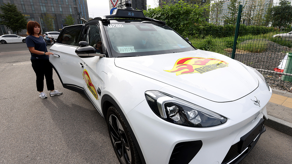
Passenger experiences a driverless car at the 2023 World Robot Conference in Beijing, China, August 18, 2023. /CFP
Passenger experiences a driverless car at the 2023 World Robot Conference in Beijing, China, August 18, 2023. /CFP
Thanks to the development of mobile internet, big data and artificial intelligence (AI), China's integration of geospatial data and intelligent connected vehicles is speeding up, further fusing the digital economy and the real economy, said an official on Wednesday.
Currently, navigation electronic maps are deeply integrated into Chinese people's lives, with their product model and content undergoing multiple changes, said Li Yongchun, an official with the Ministry of Natural Resources, at a press conference.
The autonomous driving maps, such as the smart car basic maps, are a new type of navigation electronic maps, setting new requirements in terms of location accuracy, update frequency and application scenarios.
As an important part of the integration of data and reality based on spatiotemporal big data, the fusion of geospatial data and the intelligent connected automobile industry is accelerating in China.
The ministry has implemented several measures to unleash the potential of geological information and support the application of electronic maps in self-driving vehicles, such as rolling out supportive policies, establishing testing zones, unveiling standards and promoting the development of relevant technologies, said Li.
The official also pledged that the ministry will continue to make efforts to fine-tune relevant policies, improve supervision methods and step up technology research and development, in a bid to make more maps for self-driving vehicles accessible to the public.
(With input from Xinhua)