Share

Copied
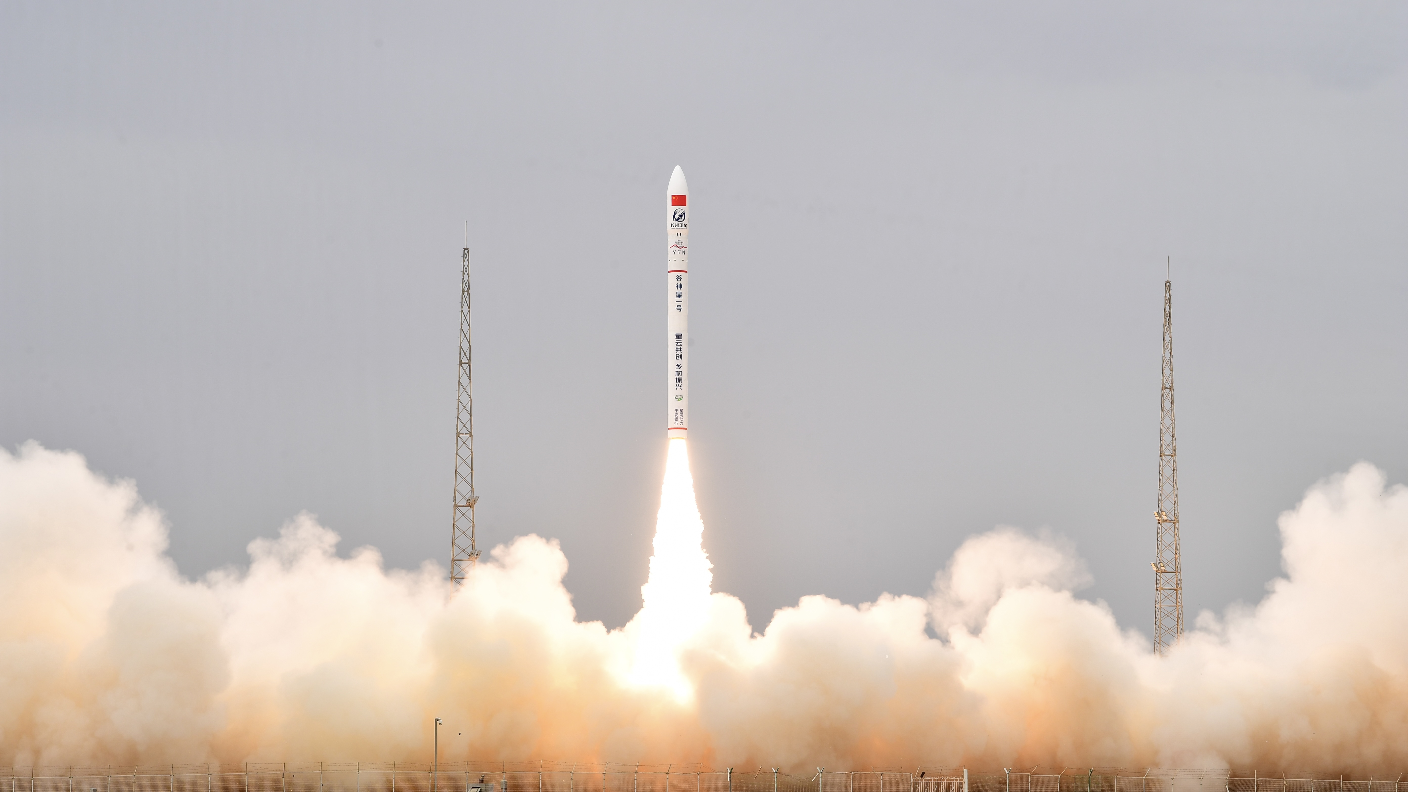
At 12:59 p.m. on Friday, a private rocket and spacecraft developer, Galactic Energy, successfully launched its CERES-1 Y8 carrier rocket from the Jiuquan Satellite Launch Center in northwest China.
This launch propelled the Jilin-1KF02A remote sensing satellite into orbit.
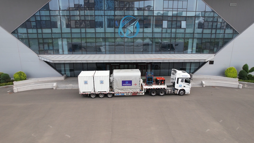
The truck that carried the Jilin-1KF02A satellite. /Chang Guang Satellite Technology
The mission is code-named "Cornfield Chase." This marks the eighth flight mission of the CERES-1 rocket series and, astonishingly, the third launch within a span of just five weeks for this rocket family.
The CERES-1 is a small-scale solid-propellant carrier rocket designed to efficiently launch micro-satellites into orbit.
What more do we know?
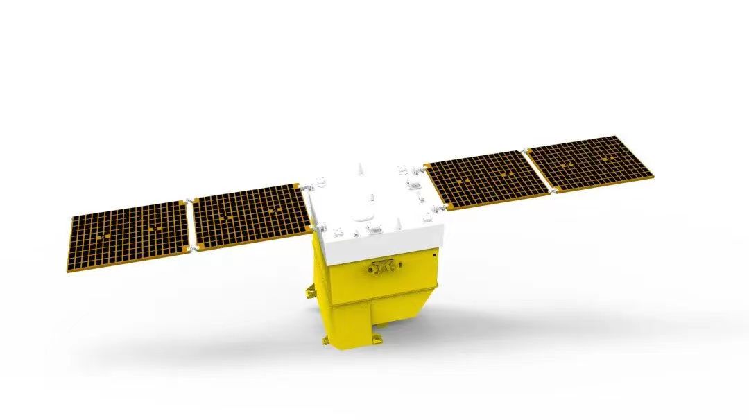
An illustration of the Jilin-1KF02A satellite. /Chang Guang Satellite Technology
The multi-spectral optical satellite has achieved significant technological breakthroughs. Equipped with an index equivalent to the Jilin-1KF01 series satellites, the Jilin-1KF02A satellite has reduced its total weight from the 1200 kg range to around 230 kg.
It is capable of providing users with high-definition satellite images spanning 150 km in width, boasting a remarkable 0.5 m resolution. The new-generation satellite features an off-axis four-mirror anastigmat camera and forms an integral part of the "Jilin-1" satellite constellation.
The Jilin-1KF02A satellite, also called "HKUST- FYBB#1," is mainly developed by the Chinese commercial satellite manufacturer Chang Guang Satellite Technology in collaboration with the Hong Kong University of Science and Technology.
It aims to provide remote sensing data services for surface monitoring and natural disaster warnings in the Hong Kong Special Administrative Region, the Guangdong-Hong Kong-Macao Greater Bay Area and other regions in the world. It will also help gather data for land and resource censuses and serve smart city applications along with agricultural and forestry development.
The launch makes the Hong Kong University of Science and Technology the first university in Hong Kong to initiate a satellite mission.
Search Trends
SITEMAP
Copyright © 2023 CGTN. 京ICP备16065310号

Disinformation report hotline: 010-85061466
SITEMAP
Copyright © 2023 CGTN. 京ICP备16065310号
Disinformation report hotline: 010-85061466