World
10:24, 18-Sep-2017
Caribbean islands prepare Hurricane Maria following Irma's path
CGTN

Maria became a hurricane Sunday as it barreled toward the storm-staggered eastern Caribbean with 75-miles (120-kilometers) per hour winds, the US National Hurricane Center said, on a path similar to that of mega storm Irma earlier this month.
Storm warnings and watches went up in many of the Caribbean islands still reeling from Irma's destructive passage. As of 2100 GMT, Maria was a Category One hurricane, the lowest on the five-point Saffir-Simpson scale, located 140 miles (225 kilometers) northeast of Barbados while bearing west-northwest at 15 miles (24 kilometers) an hour, the NHC said.

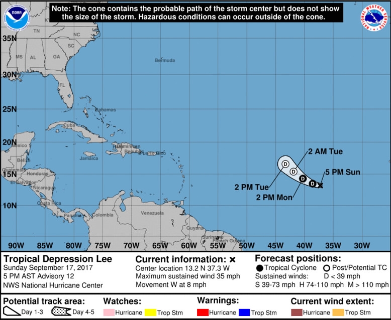
The likely path of Hurricane Maria as it nears Caribbean islands. /Photo from the US National Oceanic and Atmospheric Administration (NOAA)
The likely path of Hurricane Maria as it nears Caribbean islands. /Photo from the US National Oceanic and Atmospheric Administration (NOAA)
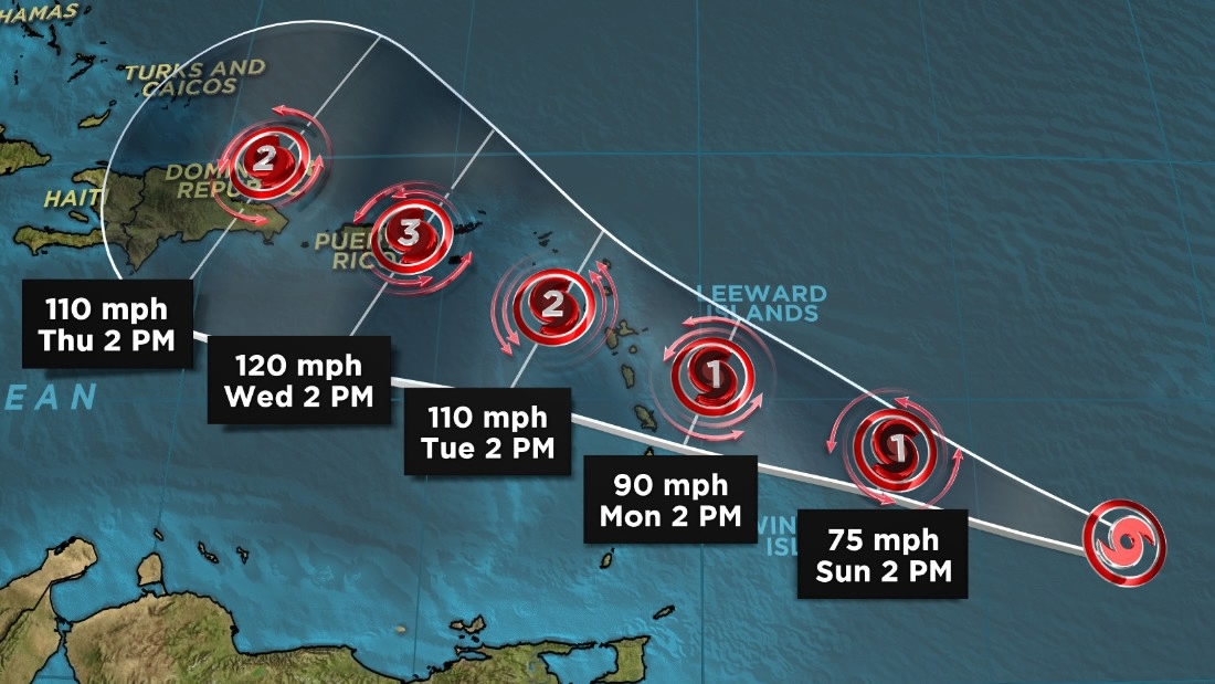
"On the forecast track, the center of Maria will move across the Leeward Islands Monday night and then over the extreme northeastern Caribbean Sea on Tuesday," it said. Hurricane warnings were triggered for Guadeloupe, Dominica, St Kitts, Nevis and Montserrat.
Less urgent "watches" were issued for the US and British Virgin Islands where at least nine people were killed during Irma.
An official statement predicted wind speeds could pick up to 150 to 180 kilometers (90 to 111 miles) per hour, which under the Saffir-Simpson scale would elevate the storm to either Category Two or Three.

CNN Photo
CNN Photo
Tropical storm warnings were meanwhile in place in Martinique, Antigua and Barbuda, Saba and St Eustatius, and St Lucia. The tiny island of Barbuda was decimated by Hurricane Irma September 5-6 when it made its first landfall in the Caribbean as a top intensity Category Five storm.
The NHC said Maria could produce a "dangerous storm surge accompanied by large and destructive waves" that will raise water levels by four to six feet (1.2 to 1.8 meters) when it passes through the Leeward Islands.

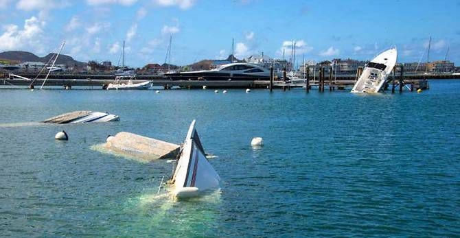
Boats and yachts are seen sunk and damaged in a harbor on the French Caribbean island of Saint Martin, September 17, 2017. /AFP Photo
Boats and yachts are seen sunk and damaged in a harbor on the French Caribbean island of Saint Martin, September 17, 2017. /AFP Photo
It also forecast a maximum potential rainfall of 20 inches (51 centimeters) in the Leeward Islands, Puerto Rico and the US and British Virgin Islands through Wednesday night that could cause life-threatening flash floods and mudslides.
A second hurricane, Jose, is also currently active in the Atlantic and has triggered tropical storm watches for the northeastern United States.
13825km
Source(s): AFP

SITEMAP
Copyright © 2018 CGTN. Beijing ICP prepared NO.16065310-3
Copyright © 2018 CGTN. Beijing ICP prepared NO.16065310-3