Tech & Sci
13:10, 12-Jan-2018
India launches 31 satellites in single mission
CGTN

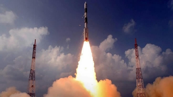
India launched the Polar Satellite Launch Vehicle (PSLV) from the southern spaceport of the Satish Dhawan Space Centre in Sriharikota, national space officials said.
Undertaking its 42nd mission, the PSLV carries 31 satellites in total from India and six other countries, including Finland and the US. Among the satellites was India's 100th “Cartosat-2” series, confirmed to be successfully launched by the Indian Space Research Organisation (ISRO), according to the ANI News Agency.
Weighing around 680 kg at launch, the satellite was first launched on January 10, 2007. As a remote sensing satellite, Cartosat-2 is capable of providing scene-specific spot imagery and is tasked to be mainly used for detailed mapping and other cartographic applications.

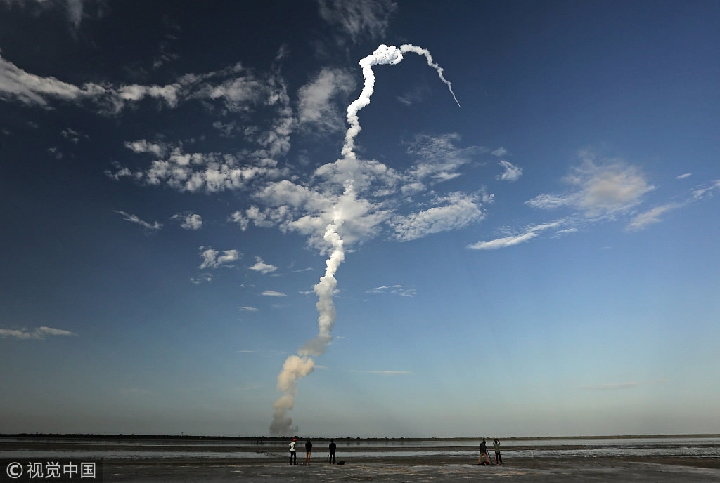
India's Geosynchronous Satellite Launch Vehicle (GSLV) carrying an Mk III communication satellite blasts off from the Satish Dhawan Space Center at Sriharikota, India on June 5, 2017. /VCG Photo
India's Geosynchronous Satellite Launch Vehicle (GSLV) carrying an Mk III communication satellite blasts off from the Satish Dhawan Space Center at Sriharikota, India on June 5, 2017. /VCG Photo
"The launch of the 100th satellite by @isro signifies both its glorious achievements and also the bright future of India's space programme," Modi said on Twitter.
India's space program has a budget of around four billion US dollars and Modi's government hopes the latest launches will improve its prospects of winning a larger share of the more than 300-billion-US-dollar global space industry.
Modi's government has been promoting a domestic space program as a demonstration of low-cost technology and last February launched 104 satellites in a single mission, most of them for foreign customers.
The rocket weighs about 1,323 kgs said a senior official at state-run ISRO, who did not wish to be named. India will use its latest satellites for better border surveillance and obtaining high-resolution images of the earth.
"PSLV-C40 is a highly sophisticated surveillance tool to keep an eye on Indian borders and will help the government track progress of infrastructure projects," said Pallava Bagla, a science writer and co-author of "Reaching for the Stars: India's Journey to Mars."
Two scientists at ISRO said images collected by the satellites will be used by the Indian security agencies to track military activities in neighboring Pakistan, China, Bangladesh, Sri Lanka and Nepal.
(Head image via local media)
Source(s): Reuters
,Xinhua News Agency

SITEMAP
Copyright © 2018 CGTN. Beijing ICP prepared NO.16065310-3
Copyright © 2018 CGTN. Beijing ICP prepared NO.16065310-3