
Space
18:47, 02-Feb-2018
China launches satellite to forecast earthquakes from space
Share

Copied
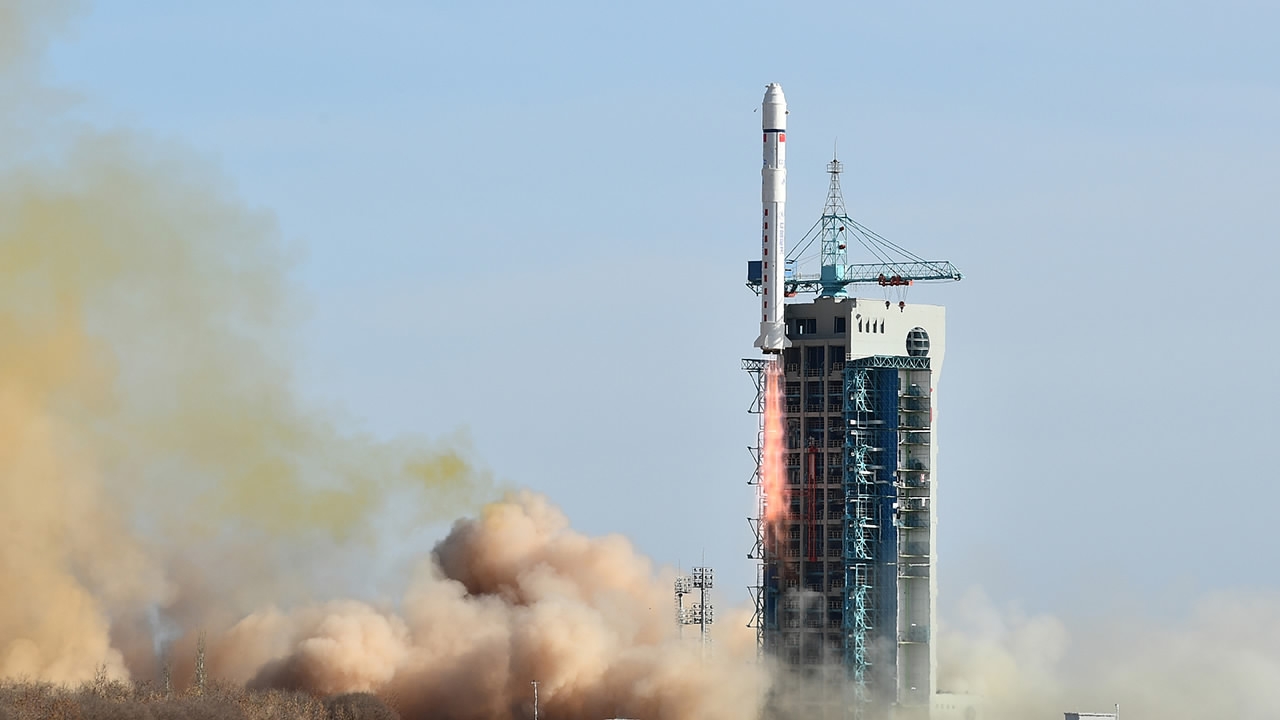
China launched a self-developed experimental seismo-electromagnetic satellite on Friday from the Jiuquan Satellite Launch Center in northwest China’s Gansu Province, along with other commercial satellites.
It was launched aboard the Long March 2D rocket at 15:51 BJT.
Dubbed Zhangheng-1, the satellite is named after the Chinese astronomer, geographer and scientist Zhang Heng (AD 78-139).
With an expected lifetime of five years, the Zhangheng-1 – also known as the China Seismo-Electromagnetic Satellite (CSES) – is dedicated to forecasting and monitoring earthquakes in and around China.
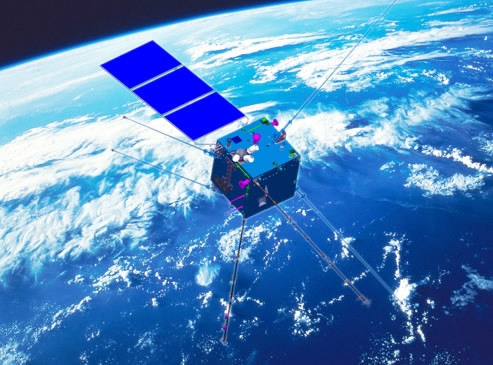
A rendering of the Zhangheng-1 satellite. /Photo via CSES
A rendering of the Zhangheng-1 satellite. /Photo via CSES
Before an earthquake, the friction of the Earth's rocks creates electromagnetic waves which spread to the atmosphere, and the movements of the Earth's crust will twist the magnetic field's lines. In other words, an earthquake will produce abnormal electromagnetic information which can be observed from space.
The satellite will collect data from the Earth’s electromagnetic field, its ionospheric plasma and its high-energy particles to conduct real-time monitoring of the ionosphere and earthquake precursor tracking – a new method to make up for the deficiency of ground-based observation techniques and to help scientists predict earthquakes.
This is China’s first space-based platform for earthquake observation and monitoring, and it is also expected to monitor the electromagnetic environment of space for industries including aerospace, navigation, and communication.
China’s first private satellite – Fengmaniu-1
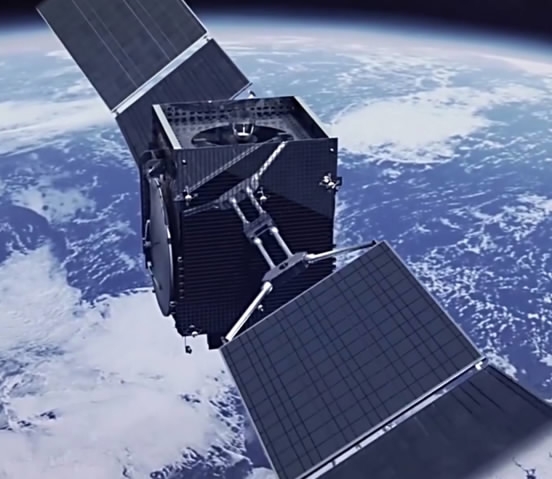
A rendering of the Fengmaniu-1 satellite. /Photo via Sohu
A rendering of the Fengmaniu-1 satellite. /Photo via Sohu
Along with the Zhangheng-1, China’s first private satellite Fengmaniu-1, which is owned by Feng Lun, chairman of Vantone Real Estate, was sent into space.
It is also the world’s first panoramic-view satellite. Equipped with a 4K high-definition panoramic camera, the satellite is able to provide 360-degree HD photographs of space.
The satellite will pass over China three times a day once it enters orbit, allowing for real-time transmission with the Earth.
According to Feng, the satellite will be used to expand the boundary of media as users will be able to receive images and audio directly from the satellite.
To increase teenagers’ interest in aerospace, the Fengmaniu team will also cooperate with domestic space education organizations to create lessons based on signals from the satellites.
(Cover photo courtesy: VCG)
1849km