
Nature
11:14, 14-Jan-2019
China's Qinghai Plateau warmer, wetter than usual
Updated
09:08, 15-Jan-2019
Share

Copied
The Qinghai Plateau, the northeastern part of the Qinghai-Tibet Plateau in northwest China, saw the warmest spring and highest annual precipitation rate since 1961.
According to the climate center of Qinghai Province, the average annual temperature of the plateau in 2018 was 3.3 degrees Celsius, with the average temperature in the spring reaching a historic high of 4.8 degrees Celsius.
The center said in October last year that the area's average temperature had climbed 0.43 degrees Celsius per decade, higher than the average speed of global warming which is 0.12 degrees Celsius per decade.

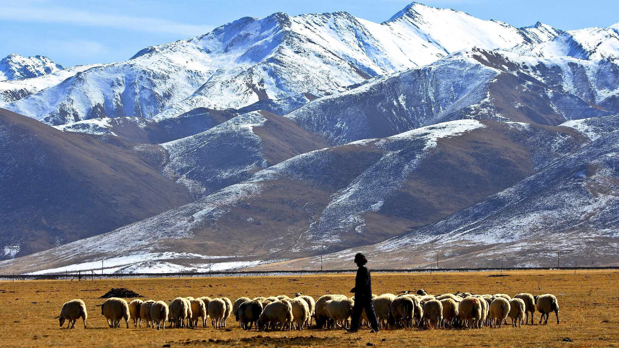
The pastoral area by Qinghai Lake, Qinghai Province, NW China. /VCG Photo
The pastoral area by Qinghai Lake, Qinghai Province, NW China. /VCG Photo
On another hand, the plateau's average annual precipitation last year was 484 millimeters, 30 percent more than the average from 1981 to 2010.
Increased rain caused over 100 natural disasters in the eastern and southern parts of the province in 2018. Seven people were killed in last year's thunderstorms – the highest number of casualties in 10 years.

Flooded streets in Xining City, the capital of Qinghai Province, NW China. /VCG Photo
Flooded streets in Xining City, the capital of Qinghai Province, NW China. /VCG Photo
The Qinghai Plateau is home to the headwaters of the Yangtze, Yellow and Lancang rivers, and viewed as China's major water conservation and ecological protection area.
The ban on the release of non-indigenous fish species was started to protect the Sanjiangyuan, or Three-Rivers Source Nature Reserve, where the Sanjiangyuan National Park is to be established as one of China's national park pilot programs.

Bar-headed geese at Sanjiangyuan Nature Reserve, Qinghai Province, NW China. /VCG Photo
Bar-headed geese at Sanjiangyuan Nature Reserve, Qinghai Province, NW China. /VCG Photo
Source(s): Xinhua News Agency