
Tech & Sci
21:55, 24-Oct-2018
What to expect from the first UN geospatial information congress
Updated
21:52, 27-Oct-2018
Share

Copied
01:33
Technological advancements have vastly improved geospatial data, which covers maps or geographical elements like roads, rivers and land contours.
The inaugural UN World Geospatial Information Congress (UNWGIC) is to be held in China next month. It will take place in eastern China's Zhejiang Province, from November 19 to 21, under the theme "drawing a blueprint together for a better world."
The Congress, including a ministerial dialogue and four plenary sessions, aims to enhance communications among related parties and application of geospatial information management.
The sessions will discuss how to apply the geospatial data to the digital economy, sustainable development, smart societies, and growing international cooperation. China's Ministry of Natural Resources said it plans to take this opportunity to strengthen ties with natural resources administrations in other countries, especially those involved in the Belt and Road Initiative (BRI).
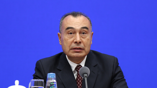
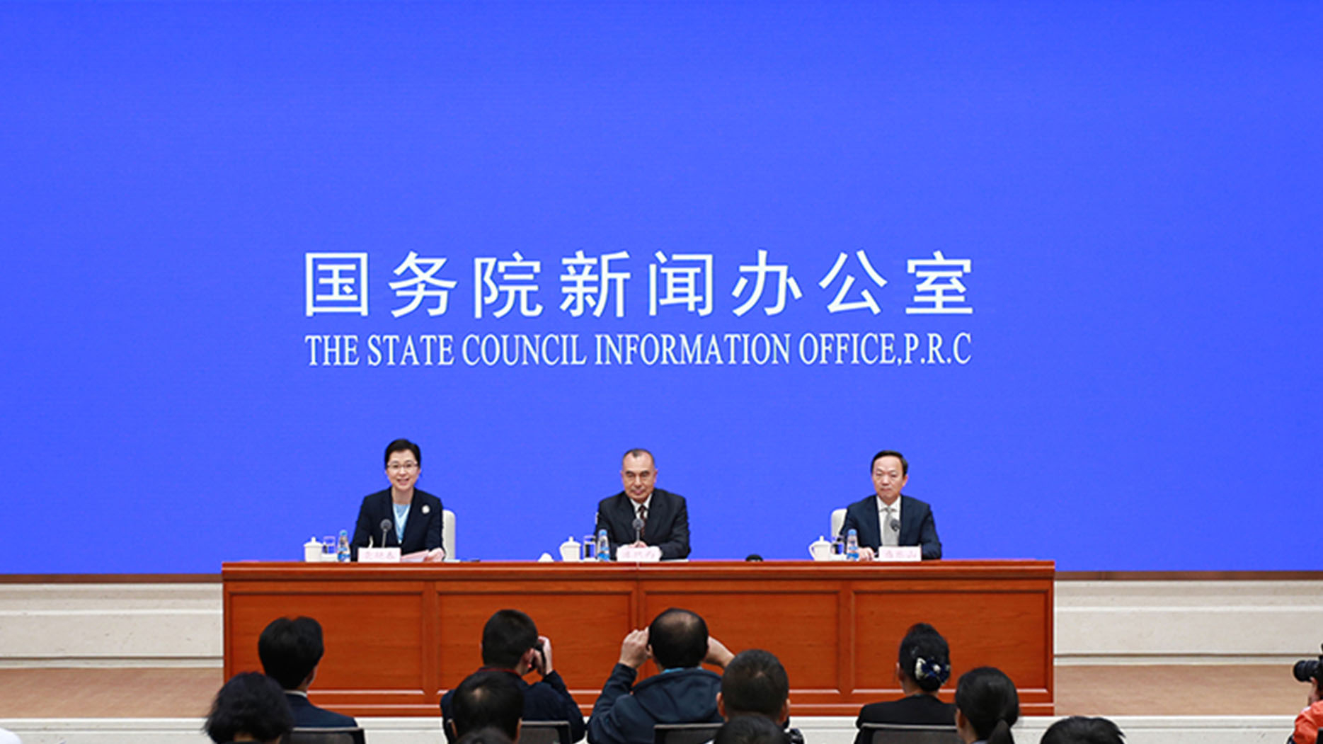
Kurexi Maihesuti, vice minister of natural resources /SCIO Photo
Kurexi Maihesuti, vice minister of natural resources /SCIO Photo
Vice Minister of Natural Resources Kurexi Maihesuti said, regarding the ecological environment and sustainable development of resources, all countries are faced with climate warming, population explosions, frequent disasters and so on.
"With the cooperation among countries along the Belt and Road in terms of regional spatial data infrastructure, as well as the application of spatial information, we will be able to accurately analyze the capacity and development potential of our resources and environment, and to optimize the allocation of resources, and ensure sustainable development," he said.
While China is joining hands with other countries to promote the BRI, the Ministry of Natural Resources has been playing a strategic leadership role in UN Global Geospatial Information Management, and making a key contribution to the competency improvement of global geospatial information management.
Since the establishment of the Geographic Information Industrial Park, which is located in Deqing, Zhejiang Province, the place has been developing swiftly and bringing benefits to the neighboring cities.

Deqing International Exhibition Center /UNWGIC Photo
Deqing International Exhibition Center /UNWGIC Photo
As an important component of the UNWGIC, the Geospatial Information Technology and Application Exhibition will be organized from November 19 to 23 this year in the Deqing International Exhibition Center.
Covering an area of 12,400 square meters, the overall exhibition will have five major areas showcasing intelligent equipment, smart applications, location-based services, map culture and future life.
Moreover, the UNWGIC will issue a quantitative appraisal report on Deqing's sustainable development based on the integration of geospatial information and statistical data, to share China's effective cases and experiences using geospatial information to implement the 2030 Agenda for Sustainable Development at the local level.