
Earth
18:14, 21-Feb-2019
Huoshizhai: Unique 'Danxia' landscapes in NW China
Share

Copied
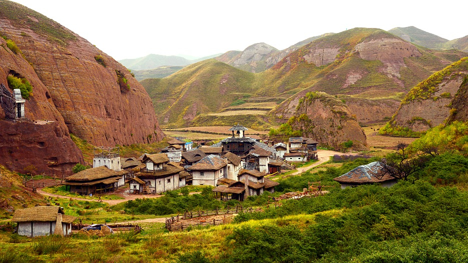
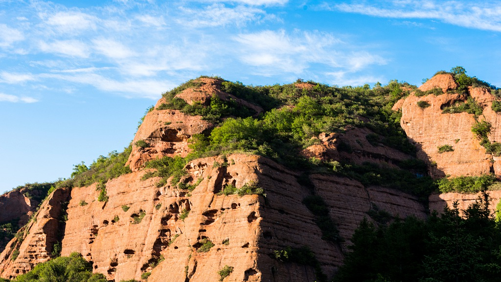
Located in Northwest China's Ningxia Hui Autonomous Region, the Huoshizhai National Geopark is known for its "Danxia" landform.
"Danxia," which means "rosy clouds" in Chinese language, refers to layers of different sedimentary rocks that form steep cliffs and are mostly red.
Huoshizhai, which translates to "fire stone village," is the most typical Danxia landscape group in northern China, with an area of 98 square kilometers. It is also the highest Danxia landform group in the country, with an altitude ranging between 1,960 and 2,450 meters.
The Ningxia Hui Autonomous Region is a relatively dry, desert-like region. It is one of the smallest provincial-level areas in the country and has a complex topography including hills, deserts, flood plains, and basins.
Below is a collection of photos of Huoshizhai National Geopark.
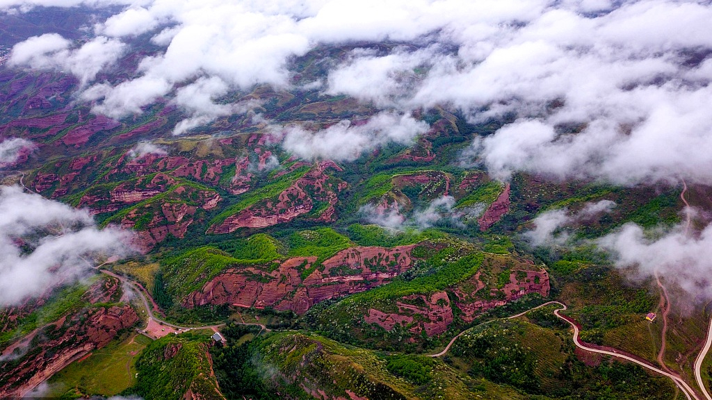
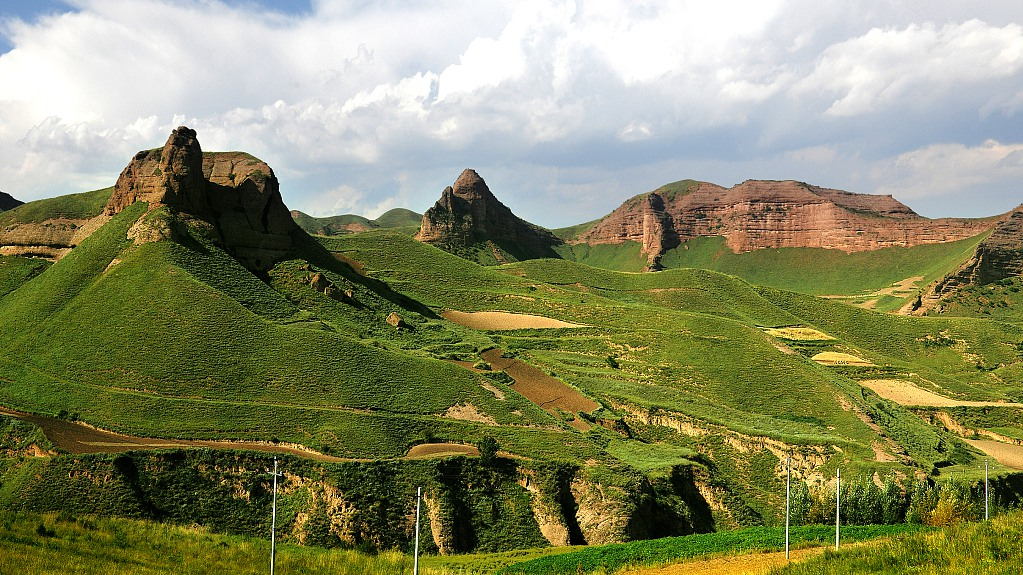
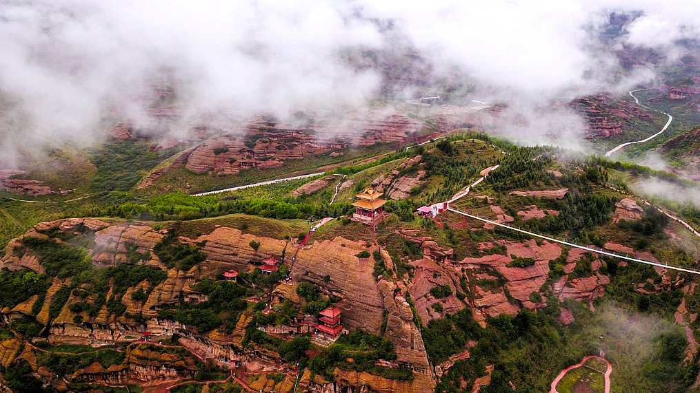
An aerial view of Huoshizhai National Geopark /VCG Photo
An aerial view of Huoshizhai National Geopark /VCG Photo
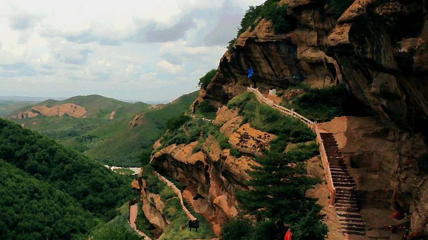
Huoshizhai National Geopark /VCG Photo
Huoshizhai National Geopark /VCG Photo
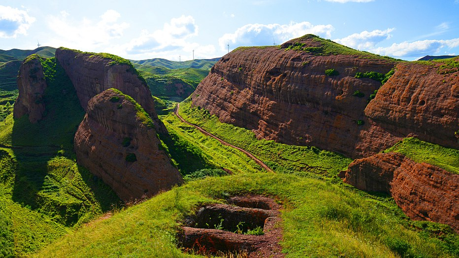
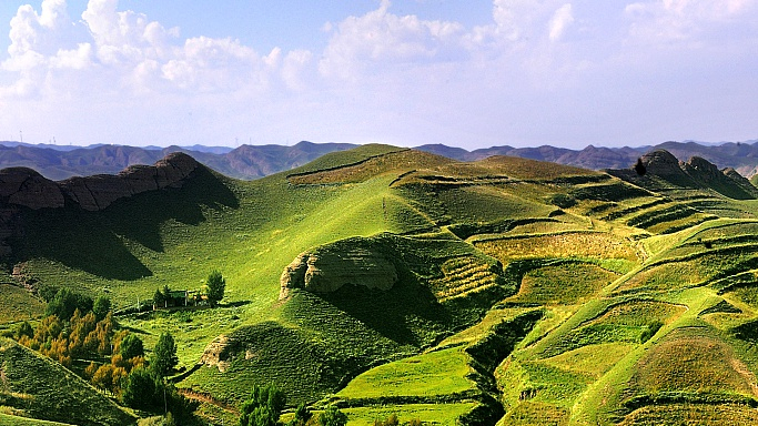
Summer view of Huoshizhai National Geopark /VCG photo
Summer view of Huoshizhai National Geopark /VCG photo
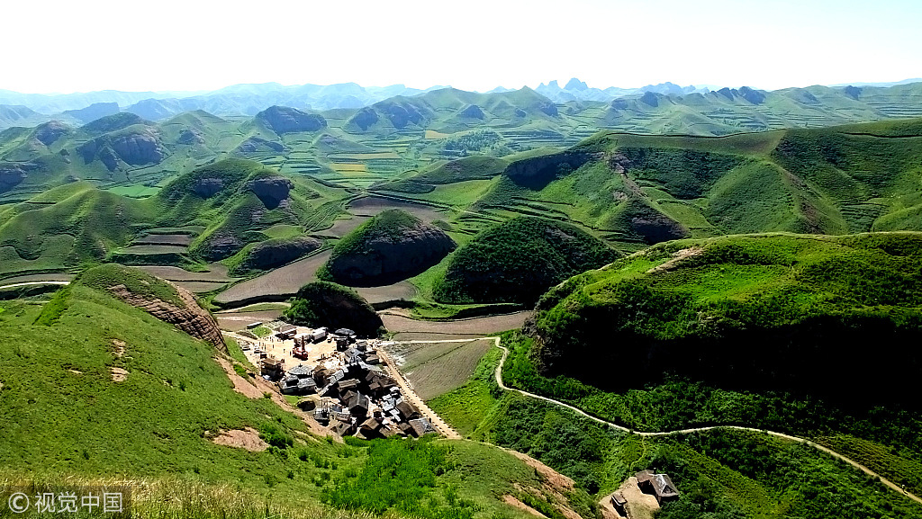
Huoshizhai National Geopark /VCG photo
Huoshizhai National Geopark /VCG photo
Huoshizhai National Geopark /VCG Photo
Huoshizhai National Geopark /VCG Photo
Huoshizhai National Geopark /VCG Photo
Huoshizhai National Geopark /VCG Photo
Huoshizhai National Geopark /VCG photo
Huoshizhai National Geopark /VCG photo
Huoshizhai National Geopark /VCG Photo
Huoshizhai National Geopark /VCG Photo
(Top image via VCG)