
Tech & Sci
20:27, 03-May-2017
How China's leading satellite data services can benefit Belt and Road countries
Share

Copied

By CGTN's Tian Ye
Over the years, China has gradually formed a huge range of satellites, specializing in fields such as meteorology, marine science, disaster monitoring and navigational technology.
Satellite launches are surging, as China joins the United States and Europe as a leader in the field of satellite communications.

Ni Jinsheng, a researcher with the Global Aerospace Data Integration Center, focuses on remote sensing and satellite data processing technology. He shared his experience of visiting Astana, Kazakhstan for the first meeting of the China-Kazakhstan Aerospace Cooperation Joint Working in September, 2015.

Ni Jinsheng, researcher with the Global Aerospace Data Integration Center /CGTN Photo
Ni Jinsheng, researcher with the Global Aerospace Data Integration Center /CGTN Photo
During the meeting, the Chinese delegation learned that Kazakhstan was urgently lacking in the field of spatial information services.
The Chinese side shared what services and support they could provide for countries along the Belt and Road in areas such as data collection and processing, software development and industry application.
After the visit, China established a cooperative relationship with Kazakhstan, and invited the Kazakh delegation to visit the Global Aerospace Data Integration Center.
Three major areas of cooperation in the satellite service project were agreed on:
1) Ground station construction and upgrading, big data processing and industry applications.
2) Demonstrating and operating a remote-sensing oil and gas monitoring project for Kazakhstan, including an information system platform.
3) An oil remote-sensing application system, offshore oil spill monitoring, an emergency decision-making system, oil and a gas emergency support demonstration system.
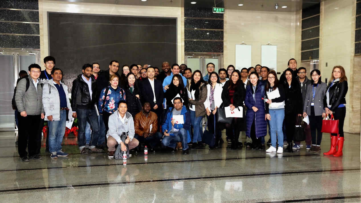
Representatives of countries along the Belt and Road come to China to learn about China's aerospace technology. /CGTN Photo
Representatives of countries along the Belt and Road come to China to learn about China's aerospace technology. /CGTN Photo
China's aerospace science and technology industrial systems are relatively complete, with its aerospace technology internationally ranked and regarded as advanced.
At the same time, China has signed cooperation agreements with more than 30 countries, and established a good governmental and commercial cooperation mechanism with countries along the Belt and Road, establishing a good foundation for spreading the application of spatial information technology.
Infrastructure construction, surveying and mapping, environmental monitoring, emergency counterterrorism and mass tourism and other aspects of promoting the Belt and Road Initiative cannot be carried out without space information services.

When asked how countries along the Belt and Road will benefit from spatial information services, Ni told CGTN that, based on these applications, spatial information services will be an essential information security means for countries along the Belt and Road in political, economic, technology and cultural communications.