
Tech & Sci
22:46, 26-Mar-2017
Exploring the 'third pole': China to investigate Qinghai-Tibet Plateau
Updated
11:09, 28-Jun-2018
Share

Copied
China is set to conduct its second massive scientific investigation of its vast Qinghai-Tibet Plateau, in the southwest frontier of the country, more than 40 years after its first exploration of the earth's "third pole" – the world's highest ground where Mount Qomolangma lies.
On Friday, the local government in China's Tibet Autonomous Region reached a cooperation agreement with the Chinese Academy of Sciences (CAS), to conduct the investigation, which includes comprehensive research of the region's geography, resources and ecosystem among other fields.
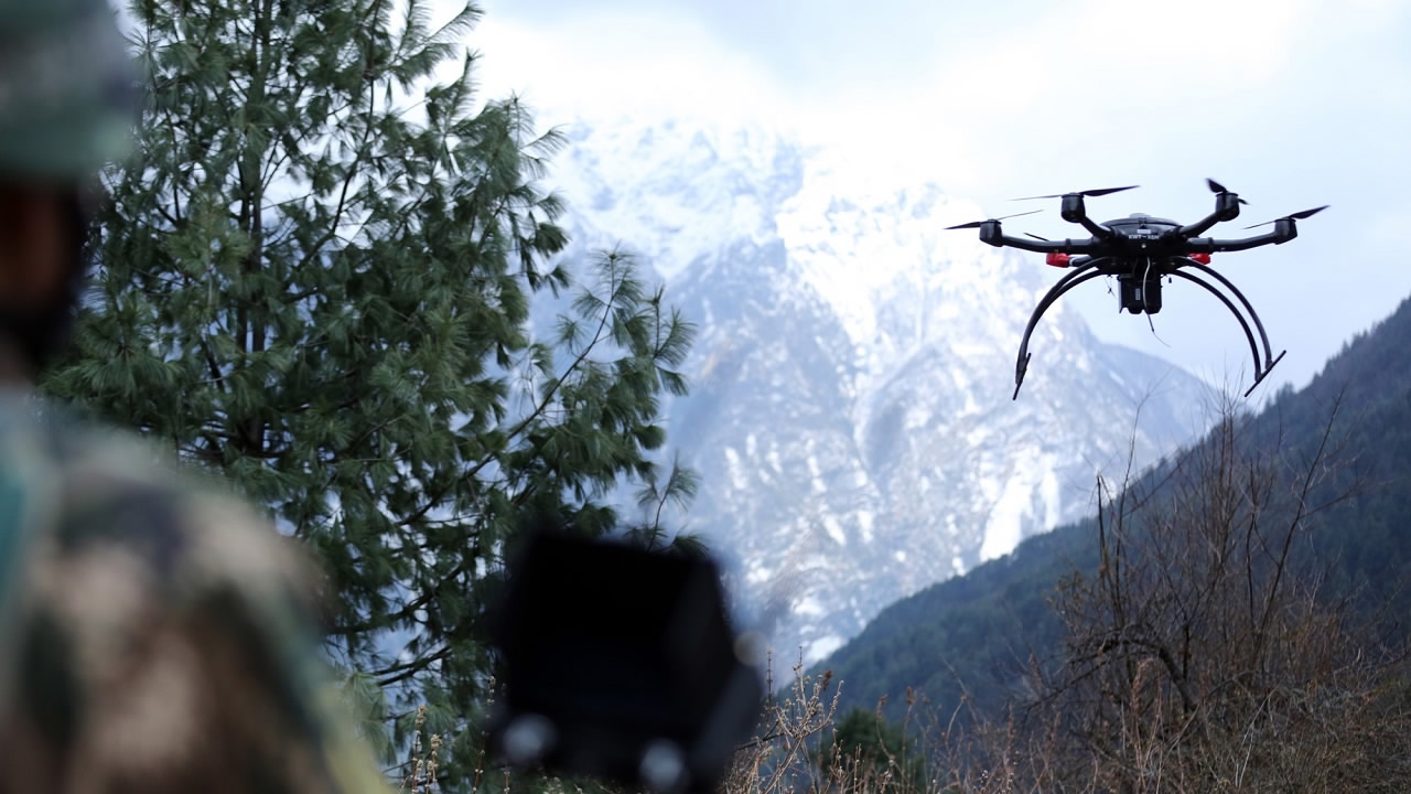
Latest technologies will play an important role during the exploration. CAS academician Yao Tandong, one of the people in charge of the investigation, told CCTV Mandarin that "drones, unmanned ships and satellites" will be used to get more detailed data.
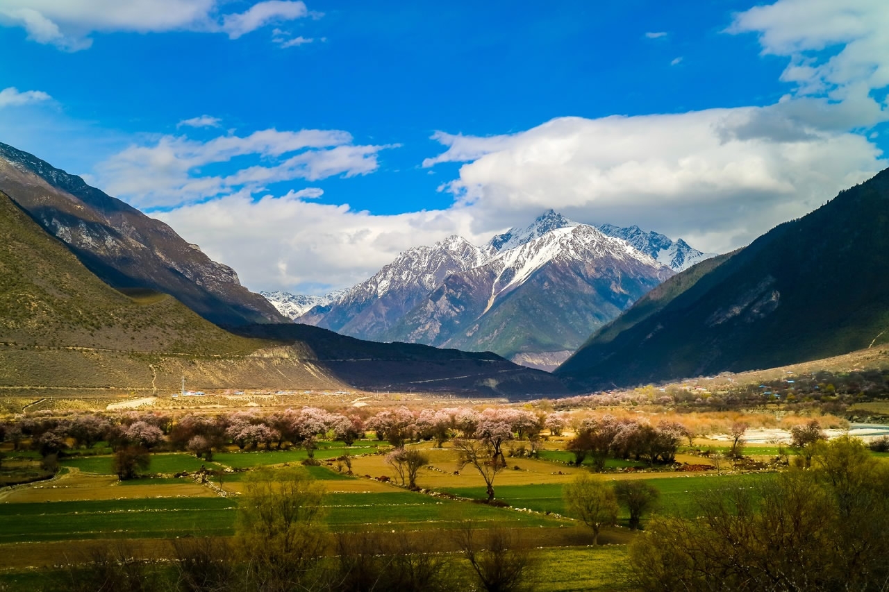
Tibet scenery taken on March 25, 2017. /CFP Photo
Tibet scenery taken on March 25, 2017. /CFP Photo
The data will be used to evaluate the environmental changes that have taken place in the past four decades.
Foreign scientists will also be invited to join the large-scale project.
Qinghai-Tibet Plateau is located in the southwestern part of China, covers an area of 2.5 million square kilometers with an average altitude of about 4,000 meters above sea level.
The first scientific expedition took place between 1973 and 1980.
Two of China's provincial regions lie entirely on the plateau, namely Qinghai Province and Tibet Autonomous Region.