
By CGTN’s Hu Nan
The 8th China Satellite Navigation Conference kicked off on Tuesday in Shanghai, with a focus on sharing the latest developments of satellite navigation system BeiDou, China's equivalent to the United States' Global Position Satellite (GPS) system.
Six to eight satellites will be launched in the latter half of 2017 and 18 more in 2018 to secure better development of BeiDou-3, the third phase of the BeiDou satellite navigation system, said the general director of the China Satellite Navigation System Office.
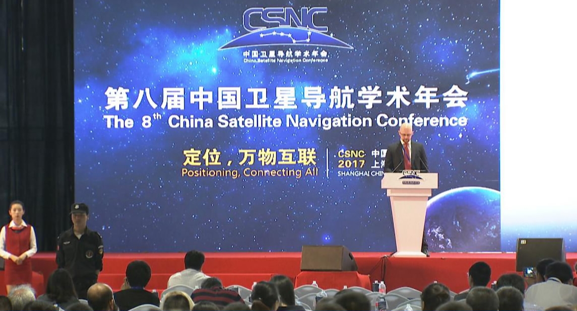
The 8th China Satellite Navigation Conference invited guests from four major satellite power countries. /CGTN Photo
From 2010 to 2016, the Chinese satellite navigation industry developed fast. By the end of 2016, the industry output value had reached 210 billion yuan (30.5 billion US dollars), with 30 percent from BeiDou alone.
The BeiDou system now provides positioning services for users in the Asia Pacific region, with 15 satellites in operation and five in orbit under testing.

Applying BeiDou positioning and navigation system to a car for learner drivers. /CGTN Photo
The BeiDou-3 system can provide an international standard Satellite Based Advanced Service (SBAS), which enhances the accuracy of positioning, and a Search and Rescue (SAR) service for emergencies.
Also, eight domestic and 15 international monitoring stations can provide statistics for the monitoring and evaluation of the four major satellite systems other than BeiDou – GPS from the US, Russia’s Glonass, and Galileo from the EU.
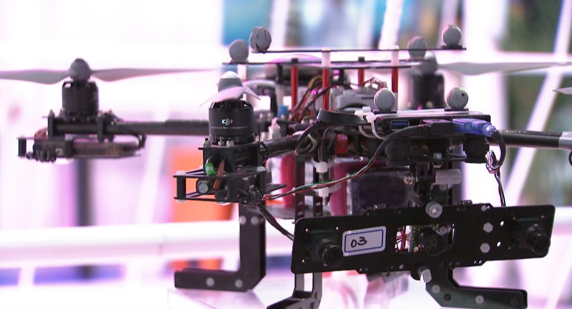
Drones using BeiDou system services can be applied in extreme environments. /CGTN Photo
Over four million vehicles were equipped with BeiDou terminals in China by 2016. The mass application of satellite navigation systems and positioning services reduced major traffic accidents and casualties by 50 percent and 51.6 percent respectively.
In addition to the automobile industry, BeiDou has been applied to transportation regulations, elderly care and smart city management.
BeiDou has also been used to cooperate with countries alongside the “Belt and Road”, such as Pakistan, Thailand, Saudi Arabia, ASEAN countries, and Arab states.
The first China-Arab States BeiDou Cooperation Forum will be held on the second day of the conference, to discuss further cooperation in fields such as smart transportation, territory mapping, border control and other scientific applications.
Arab states see a high demand for satellite navigation services in the fields of public transportation, logistics, border mapping and agriculture. Cooperation on the application of the BeiDou satellite is expected to boost the satellite navigation industry in that region.