
China
18:38, 12-Jan-2017
‘What is China?’ Book provides evidence of China’s claims in South China Sea
Updated
10:33, 28-Jun-2018
Share

Copied
By CGTN’s Han Bin
One of the enduring challenges for the Chinese government is growing tensions in the South China Sea. While China has proposed that parties with overlapping claims resolve their differences through dialogue, territorial disputes in the region continue.
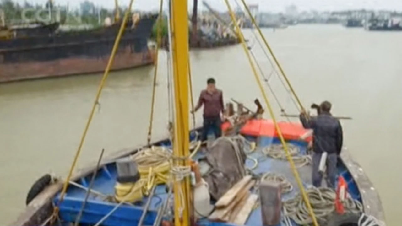
Today’s fishermen not only face the perils of the open sea, but also the added danger of encountering foreign patrol boats.
In this episode of “What Is China?”, CGTN goes to Tanmen town in Hainan Province, to find out why one particular book is so important to China’s identity and history.
Lu Yefa, a fisherman living in Tanmen, shows us how to use the nautical chart of the sea nautical map, with a compass and the Genglubu.
He says he's sailed to almost all reefs in the Nansha Islands, also called the Spratlys, from different directions. Chinese fishermen in ancient times gave names to over 100 islands and reefs, many of which are still used today.
Lu Jiabing, Lu Yefa’s son, carries a copy of the Genglubu on their journey to the South China Sea. He understands that true value is much more than a guide book. As the old captains are disappearing, this unique navigation culture is also dying.
Lu Jiabing now is teaching his son to become a master of the Genglubu. He wants him to continue sailing in even the roughest waters ahead.
2368km