
Politics
12:50, 26-Mar-2018
Indonesia mulls creation of new maritime map
Share

Copied
Indonesia is the largest archipelago country in the world, with more than 17,000 islands stretching across its coastline. Naturally, the nation is rich in coral biodiversity and important marine population.
But that's not the only important thing below Indonesia’s waters, and to better understand what lies beneath the country’s ocean surface, the Indonesian government is now looking for proper ways to start mapping its sea territory.
At present, the country relies on maps based on surveys during the Dutch colonial era, which are already considered out of date.
CGTN Photo
CGTN Photo
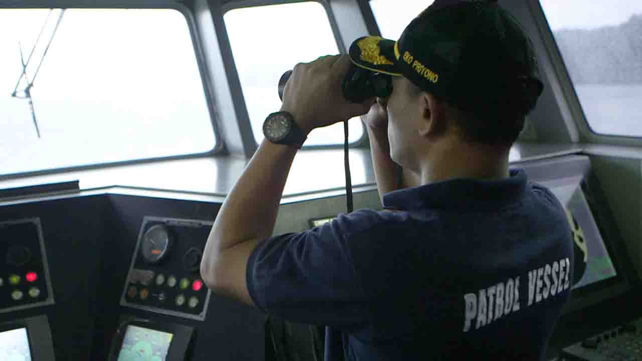
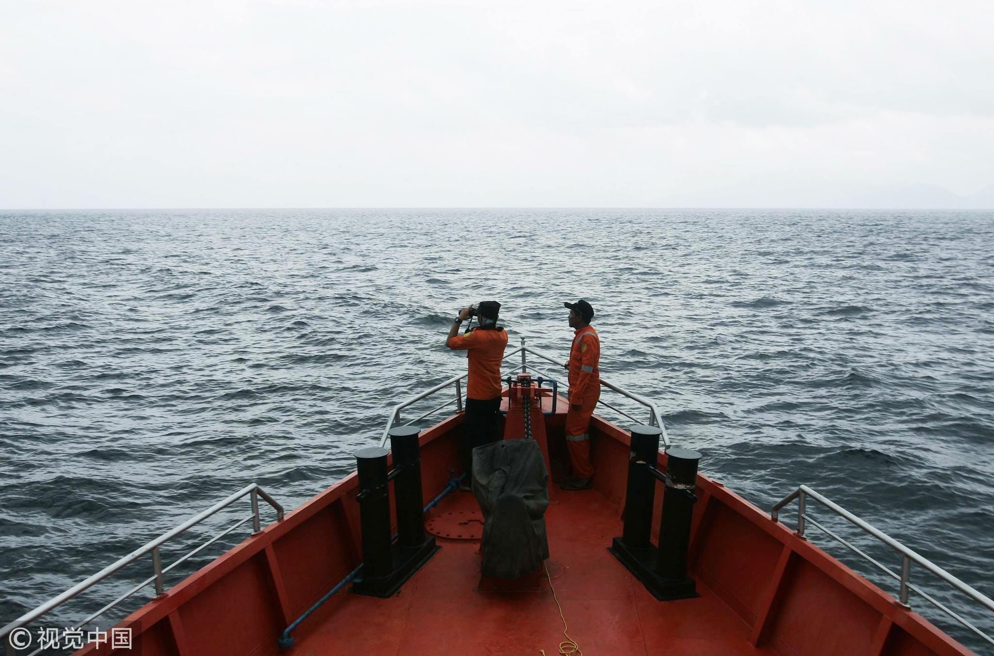
By remapping its new territories, naval patrols around the country’s border are able to know exactly where they should and shouldn’t go.
Harjo Susmoro, the head of Hydrography and Oceanography Center of the Indonesian Navy, has been working to push this plan forward. Susmoro said it’s time that other countries obtain help and get benefits from Indonesia’s abundance, rather than the other way around and for this he is encouraging the use of hydrographic experts.
"It is very important for us to focus on both hydrography and nautical charts. We are moving towards the era of blue economy and to understand matters that are happening on the surface and deep within our oceans, we need hydrographic experts. Our team plays a vital role. Hydrography isn’t just a matter of charting waters but it is the key to developing Indonesia’s economy,” said Harjo.
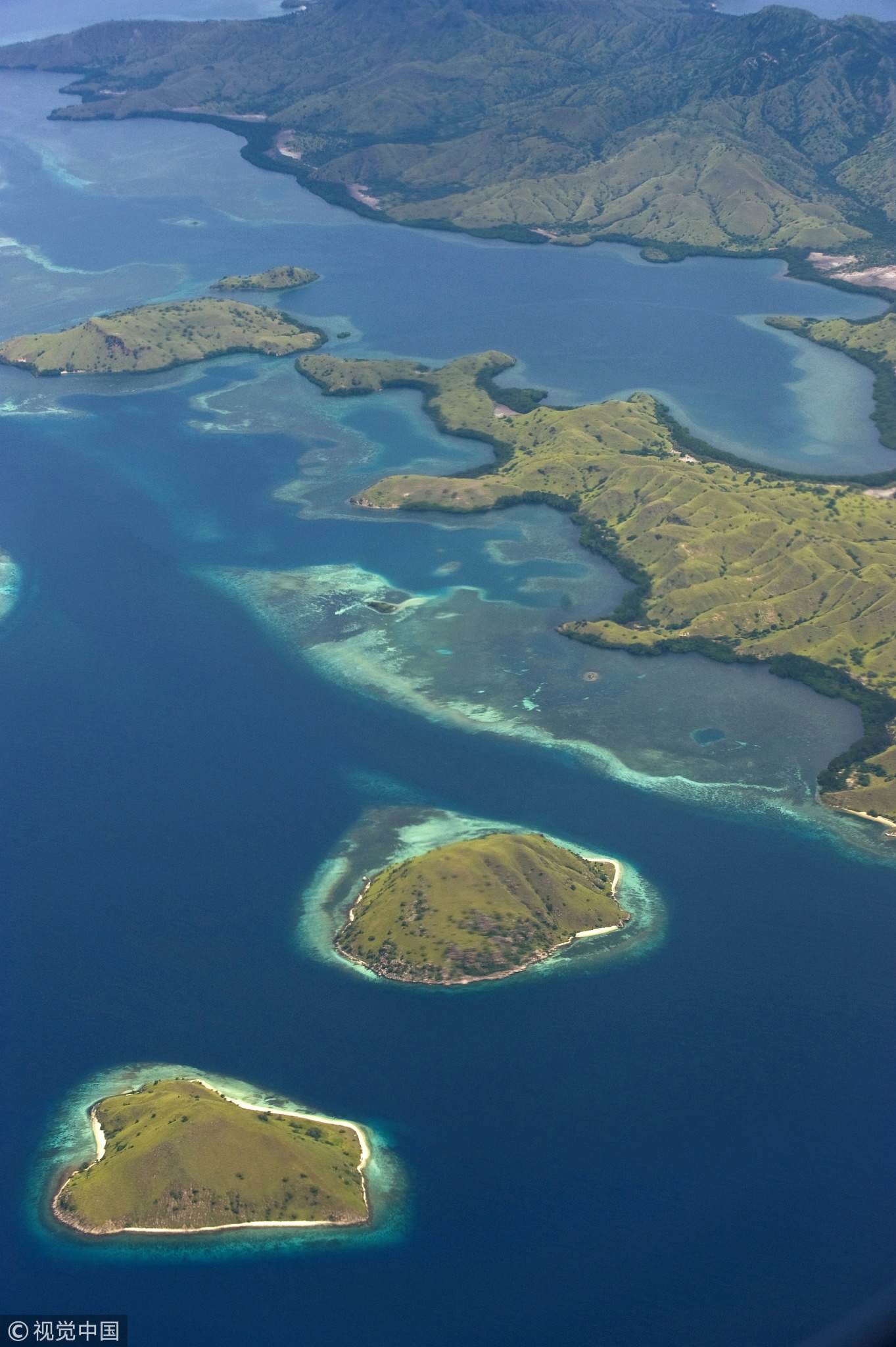
Aerial view of Indonesia's Komodo National Park. /VCG Photo
Aerial view of Indonesia's Komodo National Park. /VCG Photo
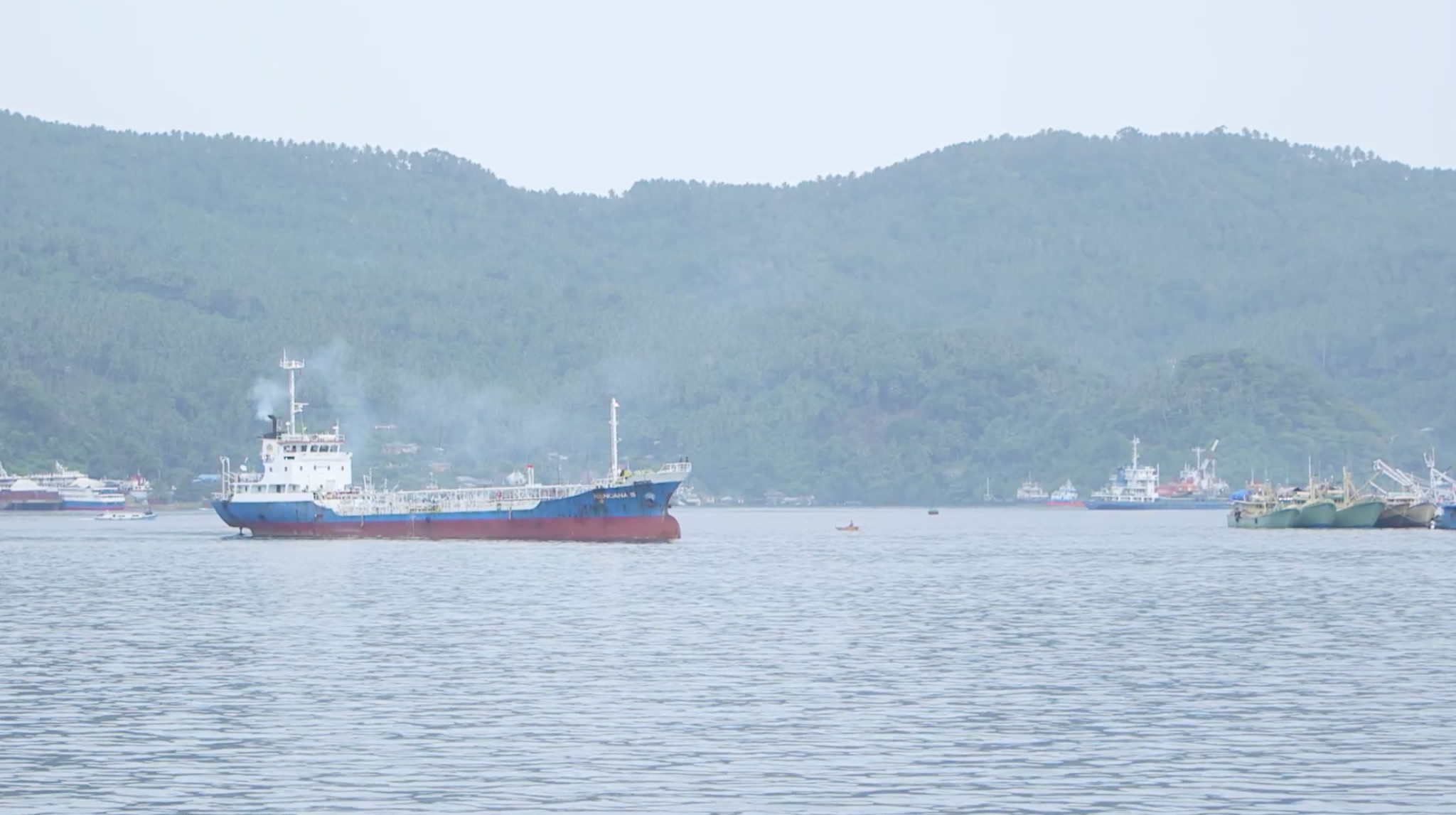
Updating the country’s maritime map will also be crucial when constructing ports. By relying on updated maps, the government and companies are able to further enhance connectivity to expand the country’s shipping industry.
Conservation also remains a top priority for Indonesian authorities. By charting new territories and learning about what’s underneath those waters, Indonesia is able to study and better understand its conservation priorities.
President Joko Widodo has a vision to turn Indonesia into a global maritime hub, mainly by focusing on development to build the country’s maritime infrastructure. This will help to increase foreign investment into the country.
VCG Photo
VCG Photo
“When you map or when you chart our waters, then you know what is in it. And when you know what is in it, then the investors will be able to calculate the risk of putting their money there to make the economy grow. So without that information there will be no possibility of knowing what is in it: the depth for example, the speed of the current, the content of the seabed, the behavior of the sea level,” said hydrography expert Poerbandono.
As a member of the International Hydrographic Organization, Indonesia has an important duty to keep surveying and charting its waters for both domestic and foreign needs.