- Home
- China
- World
- Europe
- Politics
- Business
- Opinions
- Tech & Sci
- Culture
- Sports
- Travel
- Nature
- Picture
- Video
- Live
- TV
- Specials

Share

Copied
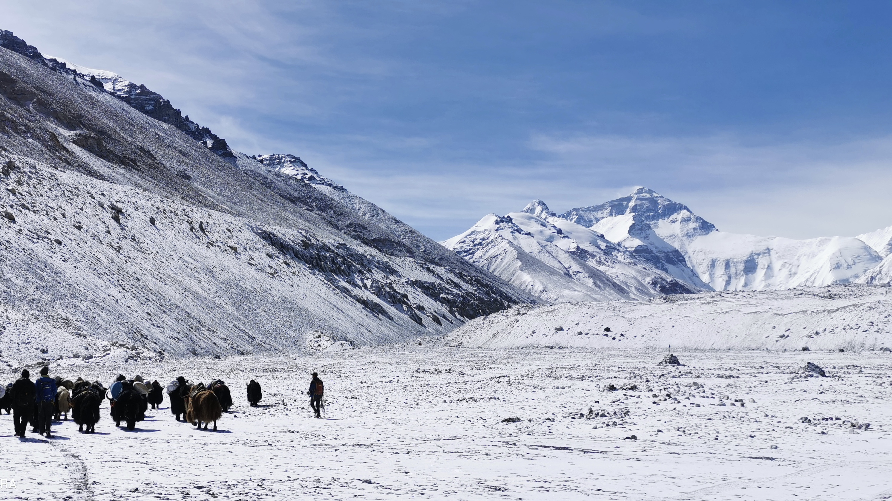
Photo provided by Huawei Technology
The 2020 measurement of the height of Mt. Qomolangma has been initiated at the base camp of the world's highest peak.
A survey team of 53 members has been working since early March in Qomolangma and its surrounding areas, conducting multiple preparative missions.
Another team formed by a group of survey members and mountaineers is scheduled to climb to the top of the mount to gather survey data. They are now doing adaptive training and survey exercises designed for alpine areas.
The core of the measurement this year is to find out the precise height of the mountain at the current time.
China's Beidou Satellite Navigation System, live-action 3D technique, and Airborne Gravity Gradiometry will help to carry out the task.
The result of the measurement will be applied in researches like geodynamics, and the precise data of snow, weather, and wind speed will become first-hand references for glacier monitoring and environmental protection.
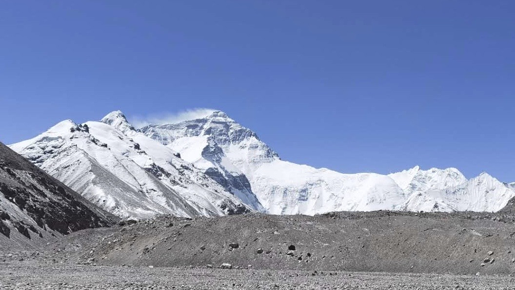
Photo provided by Huawei Technology
China has conducted six large-scale surveys and scientific investigations on Qomolangma, with the mount's height measured twice.
In 1975, China for the first time, had the precise sea-level-elevation of it as 8848.13 meters.
In 2005, the re-measurement was conducted, using the ice-map system for the first time. Surveyors measured the height of both of the mountain's rock base 8,844.43 meters and the depth of snow and ice 3.57 meters.
On the opening ceremony on Thursday, the organizer said that the new measurement is to mark the 60th anniversary of the first successful climb to the top of Qomolangma on its northern slope.
It also marks the 65th anniversary of the establishment of diplomatic ties between China and its neighbor Nepal.
Read more: 5G summits world's highest mountain