Share

Copied
China warned on Saturday of big waves, heavy rain and strong wind as Typhoon Koinu approaches the southern provinces of Guangdong and Hainan.
Waves of up to nine meters were expected in the South China Sea under the impact of the storm on Saturday and Sunday, according to the National Marine Environmental Forecasting Center. It issued an orange alert for ocean waves, the second highest in a four-colored warning system.
Typhoon Koinu, the 14th typhoon of this year, previously made landfall on southern Taiwan's Cape Eluanbi on Thursday morning, resulting in one fatality, 304 injuries and localized damage. It later weakened as it crossed the Taiwan Straits and moved westward.
As of 1 p.m. on Saturday, it was located around 190 kilometers south of Shanwei City in south China's Guangdong Province, packing winds of up to 173 kilometers per hour near its center, according to National Meteorological Center (NMC).
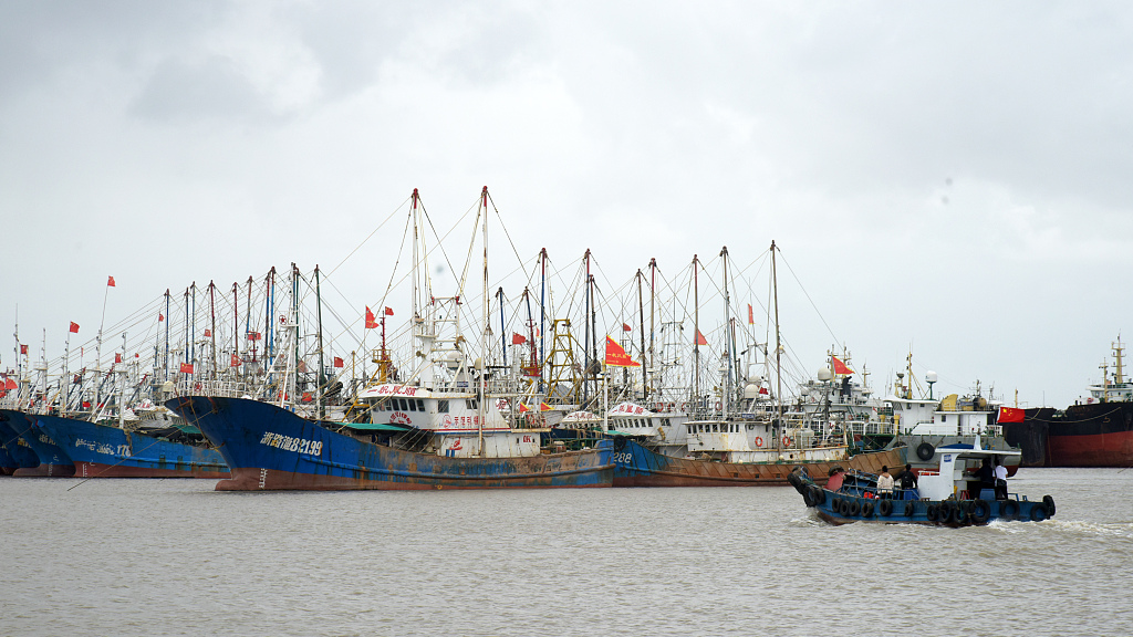
Ships return to ports in Taizhou City, east China's Zhejiang Province, October 6, 2023. /CFP
The NMC on Saturday continued to issue a yellow alert for the typhoon, the third highest in a four-colored warning system, as Typhoon Koinu is expected to bring strong winds and heavy rain to the southeastern regions.
Affected by the typhoon, parts of Fujian and Guangdong provinces will be lashed by heavy rain on Saturday and Sunday, while some coastal regions in east China's Zhejiang and Fujian provinces, and south China's Guangdong Province will experience strong gales.
The center advised local authorities to prepare for the typhoon by ordering ships to return to ports, suspending outdoor activities, and remaining on high alert for possible floods and geological disasters.
(With input from Xinhua)
Search Trends
SITEMAP
Copyright © 2023 CGTN. 京ICP备16065310号

Disinformation report hotline: 010-85061466
SITEMAP
Copyright © 2023 CGTN. 京ICP备16065310号
Disinformation report hotline: 010-85061466