
Space
22:36, 19-Aug-2017
Japan launches third satellite for its own navigation system
By Gong Zhe
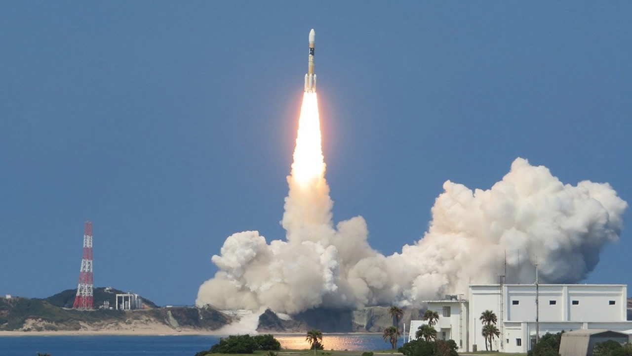
Japan's space agency on Saturday celebrated the launch of its third satellite for the country's own GPS-like navigation system.
But the system's progress is still way behind its American and Chinese rivals.
The launch
The launch itself seemed ordinary, which took place in southwestern Japan's Tanegashima Space Center on Saturday afternoon local time.
The mission was carried out by Mitsubishi Heavy Industries, and Japan Aerospace Exploration Agency (JAXA).
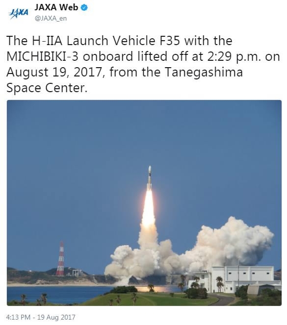
JAXA's tweet about the launch /Twitter Screenshot
JAXA's tweet about the launch /Twitter Screenshot
"We express sincere appreciation for all," said JAXA in its press release on the launch.
An H-2A vehicle was used for the launch of the Michibiki No. 3 satellite, which reached the expected orbit as planned.
The launch was delayed for a week because of technical issues.
The satellite
The Michibiki No. 3 satellite is the third one of Japan's own navigation system, the Quasi-Zenith Satellite System (QZSS), which is still being built.
"Michibiki" is the Japanese word for "guidance".
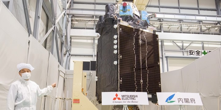
The Michibiki No 4 satellite, showcased by the Japanese government in Kanagawa on August 8, 2017. /Japanese Cabinet Office Photo
The Michibiki No 4 satellite, showcased by the Japanese government in Kanagawa on August 8, 2017. /Japanese Cabinet Office Photo
QZSS is described by the Japanese government as a complement to US's Global Positioning System, widely known as GPS.
According to the description, QZSS satellites can work together with GPS ones to provide more accurate location data.
For now, the QZSS cannot work alone, since satellite-based positioning needs four or more satellites to function.
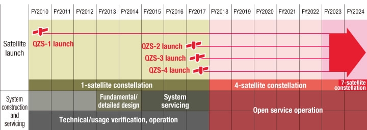
Roadmap of Japan's satellite navigation development /JAXX Photo
Roadmap of Japan's satellite navigation development /JAXX Photo
Japan has planned to launch the fourth Michibiki satellite within 2017, and then put the QZSS into open service by next year.
The system will eventually have seven satellites in total.
Other positioning systems
When fully implemented, the QZSS can run on its own, without help from the GPS.
It means Japan can depend on its own technology for navigation, if the GPS shuts down or is unavailable in the country for some reason.
China is also seeking independence from US's GPS for navigational services, and the progress appears good.
China's system is called Beidou, which is designed as a network with global navigation coverage.
The first Beidou satellite was launched in 2000, a decade earlier than the Japanese one. The system was made operational in 2012, and has evolved to its second generation.
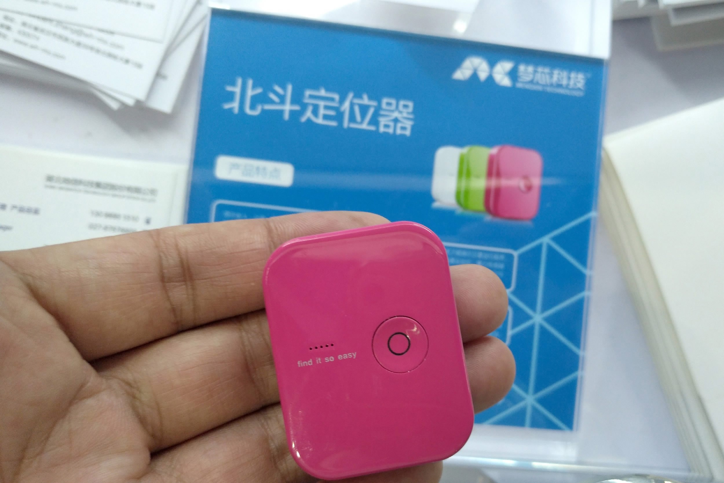
Applications based on Beidou Navigation Satellite System /VCG Photo
Applications based on Beidou Navigation Satellite System /VCG Photo
A total of 23 Beidou satellites have been launched into space, while 15 of them are currently functioning to provide China's own navigation and positioning solution.
For instance, it can help people to park their shared bikes in places that won't cause a traffic jam.
The third-generation Beidou system, which is currently under development, will offer free navigation services to countries in the Belt and Road region in 2018.
In addition to GPS and Beidou, Russia's GLONASS (Global Navigation Satellite System) is also available to many smart devices. The system now has 24 satellites in the orbit.
Europe also has its own navigation system, which was named "Galileo" after the Italian astronomer who convinced the world that the Earth goes around the Sun.

GSA is the birthplace of Galileo system. /GSA Photo
GSA is the birthplace of Galileo system. /GSA Photo
Galileo was designed to be a global system with 30 satellites, half of which is now operational.
India launched its first navigation satellite in 2013 and now has six in the orbit. The country's system is called Indian Regional Navigation Satellite System (IRNSS) with the nickname of NAVIC.
Compared with other countries in Asia and the world, Japan is a late-comer in having its own satellite navigation technology.
As the country's plan is relatively small in scale, Japan may still need to depend on the GPS to navigate for a long time.

SITEMAP
Copyright © 2018 CGTN. Beijing ICP prepared NO.16065310-3
Copyright © 2018 CGTN. Beijing ICP prepared NO.16065310-3