- Home
- China
- World
- Europe
- Politics
- Business
- Opinions
- Tech & Sci
- Culture
- Sports
- Travel
- Nature
- Picture
- Video
- Live
- TV
- Specials

Share

Copied
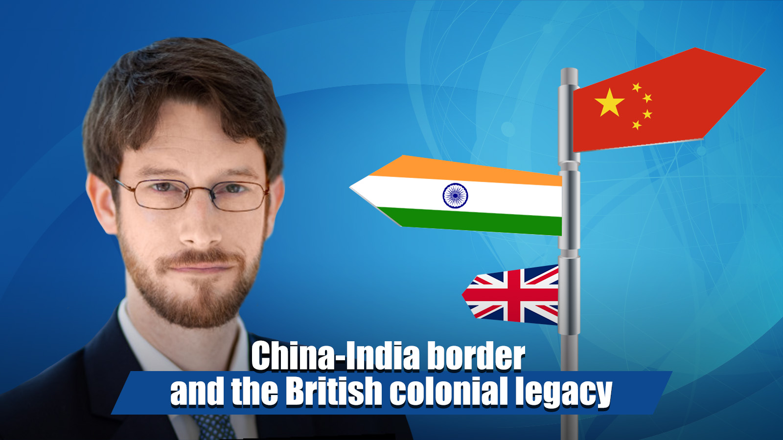
American scholar Kyle J Gardner holds the British Empire responsible for the absence of an agreed border between China and India, arguing that if the empire still existed it would deserve to be hauled into international court. Cover design: Li Jingjie/CGTN
Poor mapmaking by the British is the root cause of the longstanding China-India border tensions, according to Kyle J Gardner, American scholar and author of the forthcoming book, "The Frontier Complex: Geopolitics and the Making of the India-China Border, 1846-1962."
Gardner, a non-resident scholar at George Washington University's Sigur Center for Asian Studies, also contended that the erstwhile British Empire, that governed India as its colony between 1858 and 1947, can't avoid the blame for the recent escalation and military clashes along the China-India border.
"We are seeing this summer a tragic manifestation of the absence of an agreed border… It is fair to say the root problem here – the absence of an accepted border – is largely the fault of the British Empire. If the British Empire still existed, it would undoubtedly deserve to be hauled into international court for this and many other reasons," he told an Indian newspaper.
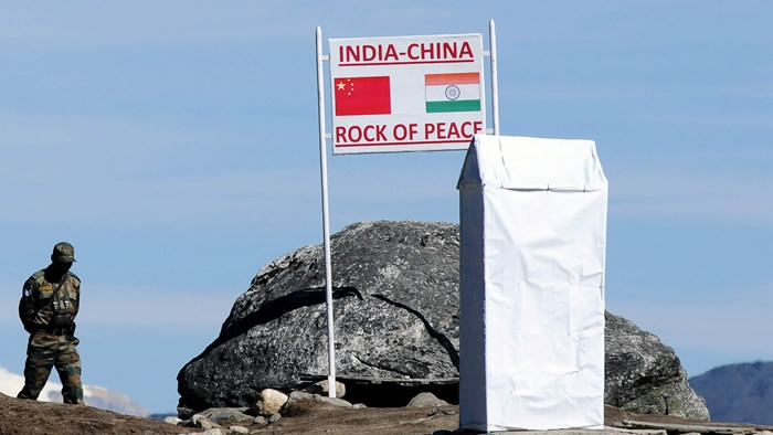
The snow-peaked Himalayan frontiers in the western sector of China-India border areas, formally known as the Line of Actual Control (LAC), have witnessed an unprecedented level of military deployment on both sides amid the rising border tensions since May this year.
After several rounds of diplomatic and military talks, Beijing and New Delhi have "agreed to stop sending more troops to the frontline, refrain from unilaterally changing the situation on the ground, and avoid taking any action that may complicate the situation," according a joint statement by the Chinese and Indian defense ministries released on Tuesday, a day after the sixth round of the military commander-level meeting was held.
Screenshot of a tweet by Kyle J Gardner.
Gardner described the China-India border dispute as a British "colonial legacy" in an article for Observer Research Foundation (ORF). In 1947, the newly-independent "India inherited substantial territorial baggage at independence ... The British Empire bequeathed to India official maps that were in many cases literally borderless," he wrote.
"In the precise sense of the term 'border,' India did not inherit a complete northern border at all. Particularly in terms of Aksai Chin, the series of proposed lines (Johnson and Macartney-MacDonald lines) and borderless maps India inherited from the British reflected limited surveying and a faulty belief that the edge of the Indus watershed aligned with a clear ring of mountains," he further explained in an interview to The Times of India.
"These maps were the result of a border-making principle centered on watershed limits that worked better in theory than in practice. While the British Empire could tolerate the ambiguity this problem produced, the newly-independent Republic of India could not," Gardner noted in the ORF piece.
'Very little demarcation'
An Indian soldier keeps watch at Bumla Pass on the eastern sector of India-China border, October 21, 2012. /AFP
The first map to represent India's northern and eastern Himalayan borders came from a survey in 1865, carried out by British surveyor William Johnson, which, according to Gardner was faulty and unreliable.
"Unlike the more precise trigonometric surveys carried out across much of the [Indian] subcontinent by the Survey of India, Johnson made a single north-south 'traverse survey' of the Aksai Chin. The resulting map, published in 1867, formed the first instance of the shape of the Aksai Chin that subsequent [Indian] maps would depict," he chronicled in the ORF article.
"Johnson, however, did not identify water-partings, nor did he do more than sketch a perimeter of mountains. As it turned out, not only does the Indus watershed limit not coincide with the ring of mountains that formed his proposed eastern border, but subsequent surveys and satellite images revealed that much of his sketched ring of mountains did not even exist," he noted, revealing the callousness of the British surveyor.
Deliberating upon the science of border-making, Gardner said that by the early 20th century, colonial officials like Henry McMahon made a distinction between "delimiting" and "demarcating" borders.
"Delimitation was the general description of the path of the border, usually in writing, and usually following a general border-making principle such as the limit of a watershed (the water-parting principle). Demarcation, in contrast, required a team of surveyors and boundary commissioners to go out and actually lay down the border using detailed maps and boundary pillars at specific plotted coordinates," he explained.
Gardner said that "very little demarcation was actually done in what is now known as the western sector [of China-India border areas]."
Complex topography
Read and watch:
Himalayan crossroads: A bumpy road ahead for China-India ties
The British failure to demarcate a borderline in the western Himalayas, according to Gardner, was not for lack of trying but due to the complex topography of eastern Ladakh and the western Qinghai-Tibet Plateau.
"In this region, there is no single mountain range to provide the guiding line for a would-be border. Ladakh and the broader western Himalayan region is part of a topographical tangle of mountains hundreds of miles wide. This complex of mountains and high, arid plateau is a far cry from the linear image of the Himalayas so often depicted on maps."
The "water-parting principle," which was recognized as a valid method of border-making at the time, being applied to boundary demarcation across the globe, didn't appear to work in this case. "It is one of the enduring ironies of the history of the India-China border that one of the first laboratories of modern border-making techniques failed to yield a border," Gardner remarked.
Many of today's borders around the world are direct or indirect products of colonialism and now-defunct empires. Both China and India would need to look beyond the lingering British colonial and historic legacy to demarcate their border with a pragmatic approach that could lead to a final resolution and lasting peace in the region.